What is recorded here
In low-lying marshy pasture. Oval area (36.6m N-S; 47m E-W) enclosed by an earthen bank (int. H 0.55m; ext. H 1.3m). Enclosure is now bounded by field boundaries forming small field- these boundaries truncate outside face of enclosing bank NNW->NNE, NE->SE, SSE->S & WSW->NW. Interior under pasture and slopes down gently towards centre; it is crossed by two farm trackways SW->N and SE->NE.
Compiled by: Denis Power
Date of upload: 26 August 2011
The monument record does not grant public access. Check the route and ask the landowner before entering private land.
- What survives
- Recorded monument
Places near here
 IndicatedEnclosure · 1024 yd
 Morgans Househouse · 1272 yd
 Dysert CastleCastle · 1275 yd
 Dysert Castle (in ruins)Castle, tower house · 1278 yd
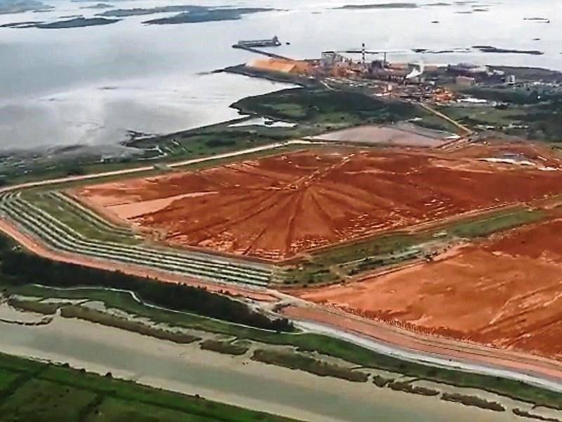 Enclosure in Aughinish WestEnclosure · 1598 yd
 Turret (in ruins)Building · 1.6 mi
 Aughinish PointHeadland · 1.8 mi
 Holly IslandIslet · 1.8 mi
 Tummera LittleIslet · 1.8 mi
 Herring RockNamed rock · 2.0 mi
 Foynes Flying Boat & Maritime MuseumMuseum · 2.5 mi
 Foynes Island ViewpointViewpoint · 2.6 mi