
What is recorded here
In level terrain, recently planted with trees. No visible surface trace of site depicted as roughly rectangular hachured area (c. 25m E-W; c. 25m N-S) on 1841 OS 6-inch map, but not shown on 1923 OS 6-inch map. Listed by Barry as a moated site (Barry 1981, 83; site no. 1).
Compiled by: Denis Power
Date of upload: 26 August 2011
A local fairy fort (ringfort/rath); wider significance not recorded.
The monument record does not grant public access. Check the route and ask the landowner before entering private land.
- What survives
- Recorded monument
Places near here
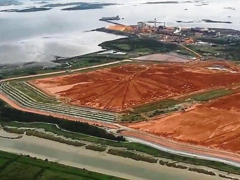 Enclosure in Aughinish WestEnclosure · 722 yd
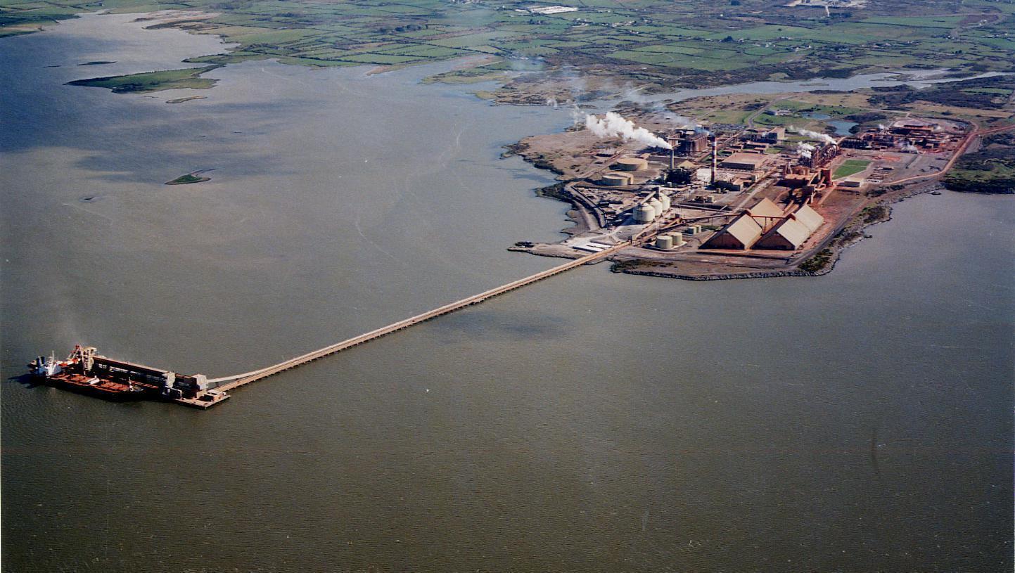 Enclosure in Aughinish EastEnclosure · 905 yd
 Castle (in Ruins), Castle FarmBawn · 990 yd
 Morgans Househouse · 1.0 mi
 TurretCastle, unclassified · 1.0 mi
 Aughinish PointHeadland · 1.4 mi
 Tummera LittleIslet · 1.6 mi
 Old MillWater mill, unclassified · 1.6 mi
 Gammarel PointHeadland · 1.8 mi
 Foynes Flying Boat & Maritime MuseumMuseum · 2.1 mi
 Holly IslandIslet · 2.2 mi
 Foynes Island ViewpointViewpoint · 2.2 mi
Other information
Photo: Credit not shown in the picture search · Rights wording not checked; contact us if this picture should be removed