What is recorded here
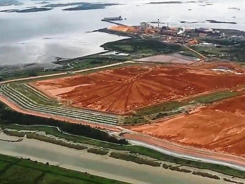
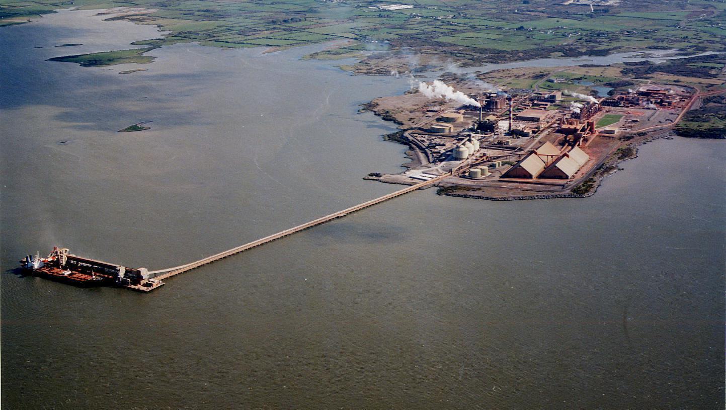
In level low-lying terrain on Aughinish Island; area of site now occupied by industrial complex. Site described in 1974 as 'an approximately circular platform-like area demarcated by the remains of an earthen bank in the south and east and a high embankment at north and west. A field wall and fossway cuts off the southern segment ... dimensions east-west 40m ... covered with blackthorn ... probably a rath' (Byrne 1996, 5). In 1993 a further inspection of the site revealed a slightly curving raised platform ... probably the surviving north-east quadrant of the mounment' which was covered by 'dense growth' (O Rahilly 1993, 1). Archaeological excavation at the site in 1996, prior to its incorporation into an industrial complex (Aughinish Alumina), produced no finds or features of an archaeological nature, leading to the conclusion that 'the site may be of no archaeological significance' (Byrne 1996, 10).
Compiled by: Denis Power
Date of upload: 26 August 2011
A local fairy fort (ringfort/rath); wider significance not recorded.
The monument record does not grant public access. Check the route and ask the landowner before entering private land.
- What survives
- Recorded monument
Places near here
 IndicatedEnclosure · 722 yd
 Enclosure in Aughinish EastEnclosure · 1163 yd
 Castle (in Ruins), Castle FarmBawn · 1411 yd
 Dysert CastleCastle · 1.2 mi
 Gammarel PointHeadland · 1.4 mi
 Morgans Househouse · 1.4 mi
 Old MillWater mill, unclassified · 1.4 mi
 Aughinish PointHeadland · 1.4 mi
 Foynes Flying Boat & Maritime MuseumMuseum · 1.7 mi
 Foynes Island ViewpointViewpoint · 1.8 mi
 Foynes IslandIsland · 1.9 mi
 Tummera LittleIslet · 1.9 mi
Other information
Photo: Credit not shown in the picture search · Rights wording not checked; contact us if this picture should be removed