What is recorded here
Situated towards the top of a N-facing slope. Circular area (int. diam. c. 17m) with an entrance (Wth 4m) at E defined by a band of lush vegetation. It was identified in an EIS by Antoine Giacomette during 2005 (2008, 17, 18, fig. 10, 11). Mound (WA040-025002-) is c. 10m to the E.
Giacometti, A. (2008) Proposed residential development, Farrangarret townlnad, Ardmore, Co. Waterford. Arch – Tech.
Compiled by: Michael Moore.
Date of upload: 20 October, 2011
The monument record does not grant public access. Check the route and ask the landowner before entering private land.
- What survives
- Recorded monument
Places near here
 Mound in FarrangarretMound · 28 yd
 Cross (present location) in MoneaCross (present location) · 356 yd
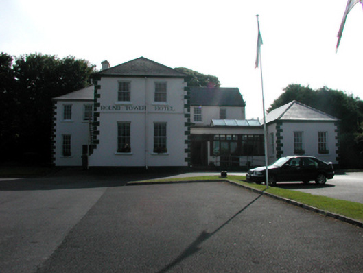 convent/nunneryconvent/nunnery · 357 yd
 Monea Lodgehouse · 388 yd
 Ardmore Round TowerMedieval round tower · 402 yd
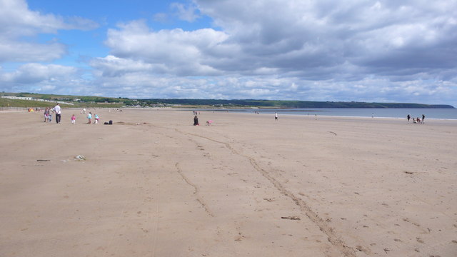 Ardmore BeachBeach / strand · 1217 yd
 Baile StairiúilVisitor information · 1316 yd
 Ardmore Cliff WalkWalking route · 1383 yd
 Goat Island beachBeach / strand · 1.2 mi
 Cabin PointHeadland · 2.8 mi
 Site of CastleCastle, unclassified · 3.8 mi
 Kilmaloo LoughWood · 4.5 mi