What is recorded here
Located on a rise in undulating average pasture.
This enclosure is not shown on the 1837 OS 6-inch map; it is depicted on the 1930 edition as a circular embanked area (diam. 15-20m). According to local information, it was levelled during land reclamation in the first half of the 20th century. There are no visible remains at ground level.
Compiled by: Jane O’Shaughnessy
Date of upload: 16 April 2018
This remains an important historical record, but the official description says the monument is no longer visible or has been destroyed. The monument record does not grant public access. Check the route and ask the landowner before entering private land.
- What survives
- No visible remains or recorded as destroyed
Places near here
 Quignamanger National Schoolschool · 506 yd
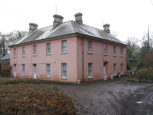 Glen Lodgefarm house · 722 yd
 FloretteWreck · 796 yd
 Enclosure in QuignaleckaEnclosure · 1133 yd
 Belleek WoodsWood · 1169 yd
 Knox Gore MonumentMonument · 1201 yd
 The Marshall Doran CollectionGallery · 1317 yd
 Rinphilip PointHeadland · 1.2 mi
 Belleck CastleCastle, unclassified · 1.4 mi
 Castleconnor (in Ruins)Castle, hall-house · 1.5 mi
 Humbert MonumentMemorial · 1.8 mi
 HawthornHawthorn · 2.1 mi