What is recorded here
Eskraha holds a broken circular wall on a narrow terrace above Bantry Bay, where gorse and briars strangle the stones. A tall slab leans at the east edge like a marker forgotten by time. The northern floor rises slightly, as if someone once built the place level against the slope. People may have gathered there to watch weather come off the bay or to set a boundary between fields and sky.
In pasture, on an E-W terrace on a N-facing slope overlooking Bantry Bay. A circular area (diam. 10.5m) is defined by the remains of a stone wall (T 1.3m; H 0.5m) displaying traces of an inner and outer row of large stones with a fill of smaller stones. A stone slab (H 1.15m; L 0.5m; T 0.4m) narrowing as it rises stands on the external perimeter at E. The wall remains are generally in a jumbled state and are largely covered by gorse, briars and long grass. The interior is also covered by overgrowth, which hides a scatter of rubble from the walls. The N portion of the interior has been raised (H 0.5m) to compensate for the hillslope. There is evidence of field-clearance rubble in a few places inside the perimeter. There is a standing stone (CO138-029002-) c. 10m to the S of the enclosure.
The above description is derived from 'The Archaeological Inventory of County Cork. Volume 5' (Dublin: Stationery Office, 2009).
Date of upload: 22 December 2009
The monument record does not grant public access. Check the route and ask the landowner before entering private land.
- What survives
- Recorded monument
Places near here
 Miner's settlement in GortavalligMiner's settlement · 1076 yd
 Sheep's Head - Cahergal LoopWalking route · 1316 yd
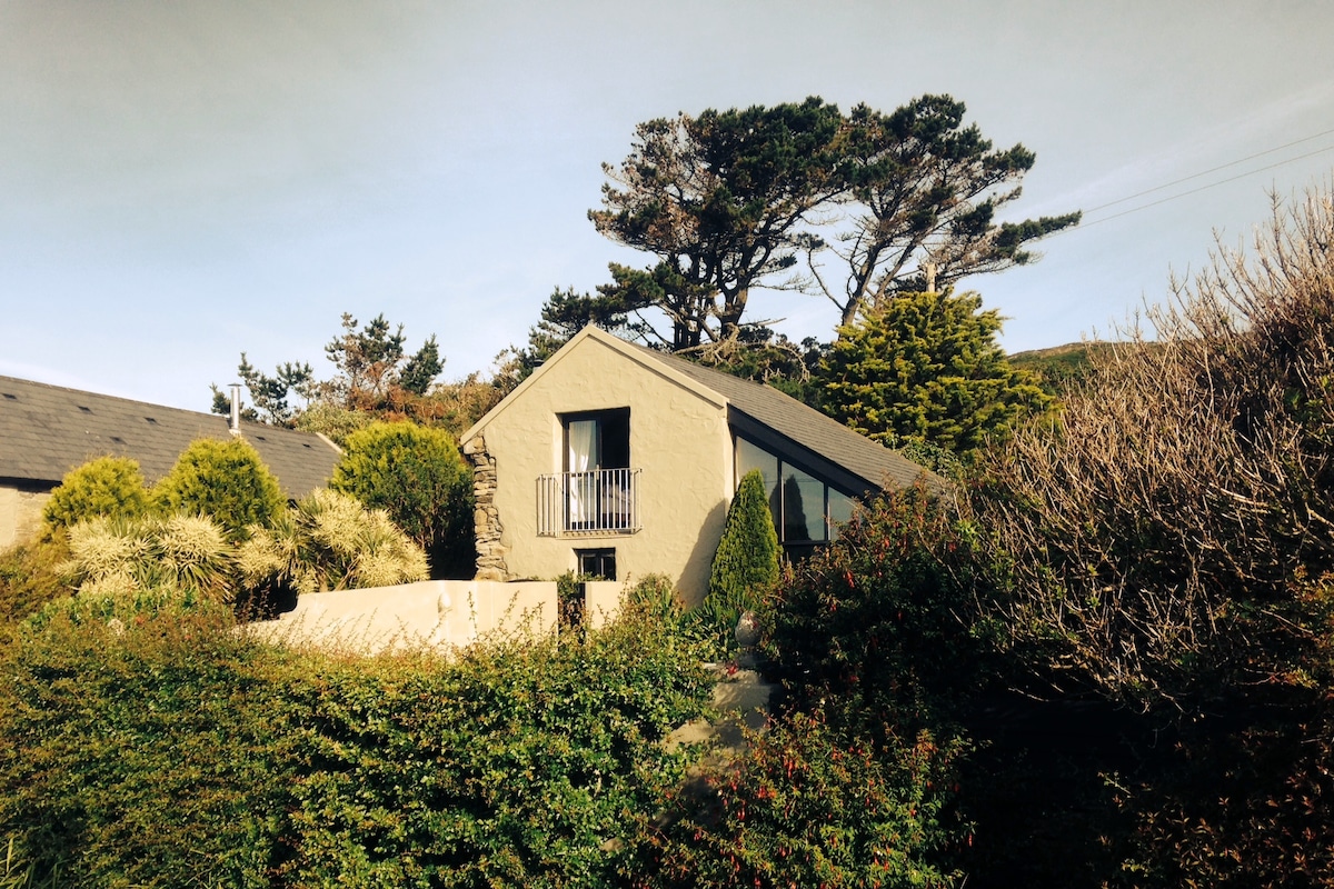 Laharandota WellHoly well · 1567 yd
 Sheep's Head - Poet's Way LoopWalking route · 1.3 mi
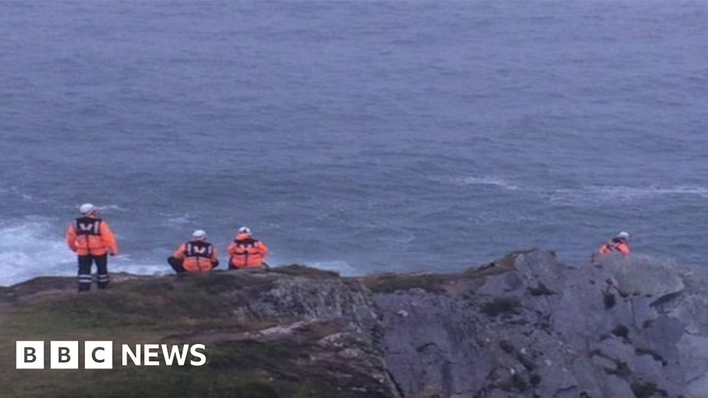 Drowning in Dunmanus BayMemorial · 1.4 mi
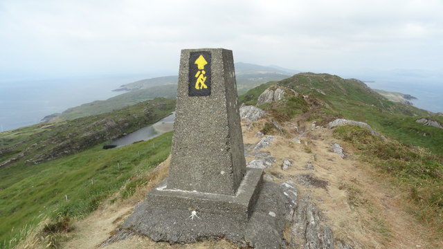 Ballyroon MountainMountain / peak · 1.9 mi
 Caher MountainMountain / peak · 2.2 mi
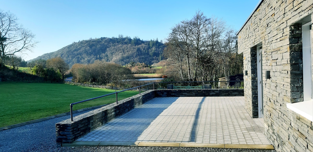 Lough Akeen Lake ViewViewpoint · 2.6 mi
 Sheep's Head Lighthouselighthouse · 3.1 mi
 Sheep's HeadHeadland · 3.3 mi
 Mass RockMemorial · 3.6 mi
 surgery/clinicsurgery/clinic · 3.7 mi