What is recorded here
In an area of exposed limestone and rough pasture. A possible enclosure (c. 42m E-W; c. 34m N-S) is visible on aerial imagery (OSi digitalglobe 2011-2013; Geohive MapGenie Imagery 2013-2018 ). Identified and reported by Ros Ó Maoldúin.
The following image has been uploaded: GA110-186----_01.jpg Aerial view (Geohive MapGenie Imagery 2013-2018)
Compiled by: Olive Alcock
Date of upload: 22 July 2022
The monument record does not grant public access. Check the route and ask the landowner before entering private land.
- What survives
- Recorded monument
Places near here
 Dun OnaghtFairy fort / stone ringfort · 464 yd
 KilcholanShrine · 528 yd
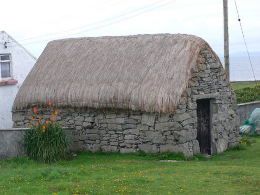 outbuildingoutbuilding · 1031 yd
 monumentmonument · 1031 yd
 Castle (in ruins)Castle, unclassified · 1367 yd
 Kilmurvey BeachBeach / strand · 1411 yd
 Teampal MacDuaghHeritage attraction · 1527 yd
 ÁrainnIsland · 2.3 mi
 Seal Colony LookoutViewpoint · 2.7 mi
 An CharcairMountain / peak · 2.7 mi
 An tOileán ThiarIslet · 2.9 mi
 Trá na mBuailte (Beach of the Booly)Beach / strand · 4.5 mi