What is recorded here
Dún Ibhir presents a broad grass mound rather than a defined enclosure, inviting wonder about whether people shaped the rise or nature simply built a local vantage point. It stands in low ground yet returns views across ENE, S and WSW distances, while quarry scars and cultivation ridges show that the place has given material and memory back to those who used it. The absence of a wall does not diminish it; it withholds certainty.
Situated in lowlying ground, which nevertheless affords excellent views from ENE-S-WSW.
Listed in the SMR (1991) and RMP (1997) as enclosure based on local information (pers. comm. T. McDonald, 1991). Not indicated on the 1838 and 1929 OS 6-inch maps. Prominent subcircular, grass-covered mound or rise of peat, earth and stone (38.4m NW-SE; 33.4m NE-SW). The mound was probably originally dome-shaped (max H. 2.3m), but large quarry holes have been dug into the top and the perimeter. Relict cultivation ridges traverse the mound. There is no enclosing bank or wall. This mound may be natural in origin.
Compiled by: Jane O’Shaughnessy
Date of upload: 12 June 2019
The monument record does not grant public access. Check the route and ask the landowner before entering private land.
- What survives
- Recorded monument
Places near here
 Enclosure in Dún IbhirEnclosure · 393 yd
 IndicatedEnclosure · 480 yd
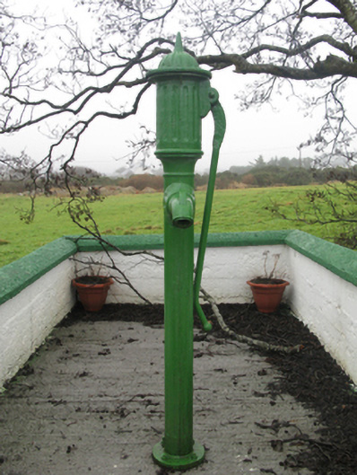 water pumpwater pump · 629 yd
 post boxpost box · 813 yd
 Inis BigilIsland · 1.7 mi
 RinnaveelogeBeach / strand · 1.7 mi
 Trá Ghob na hAirdeBeach / strand · 2.1 mi
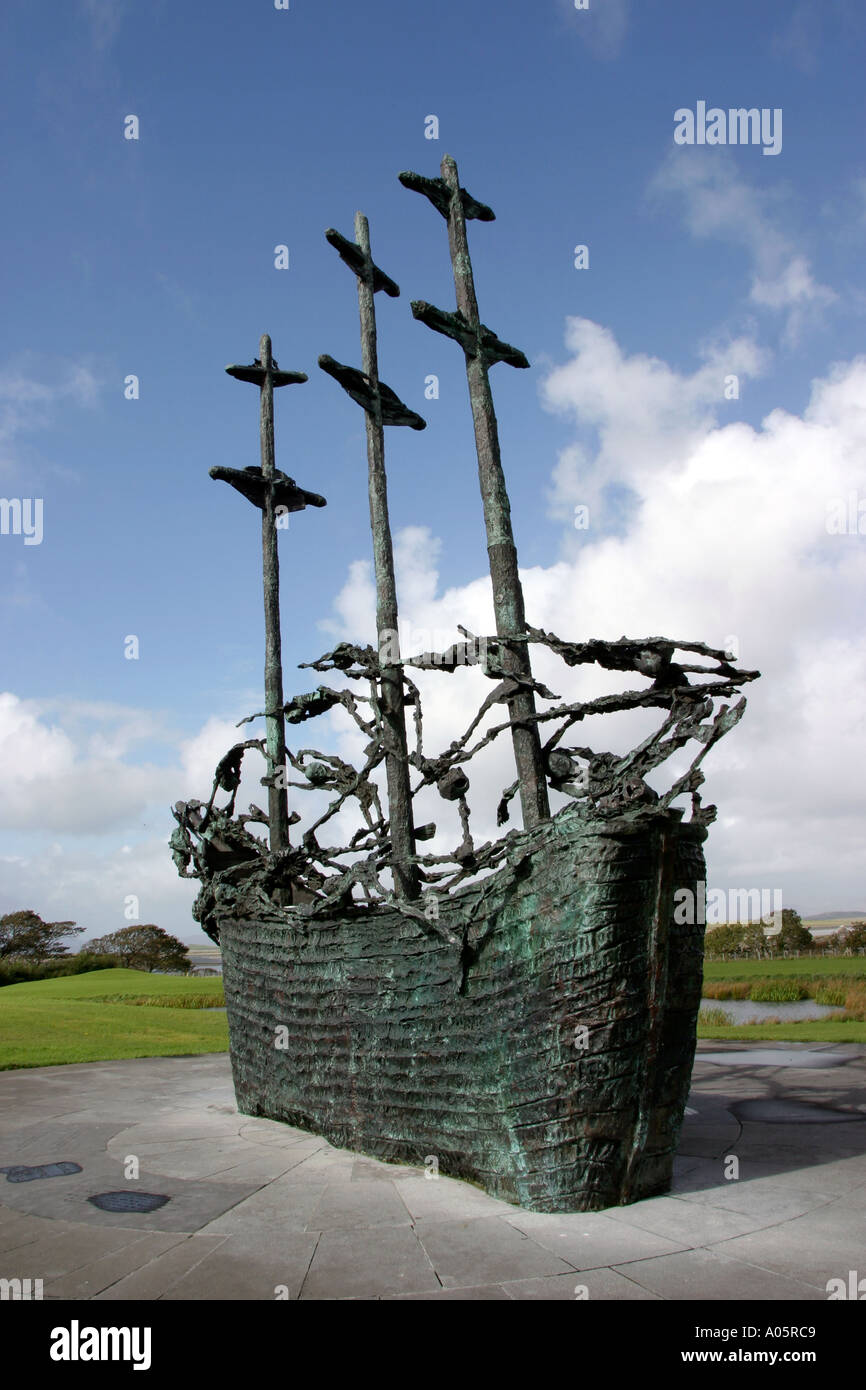 Cillín MemorialMemorial · 2.2 mi
 Wild Atlantic Way:Visitor information · 2.2 mi
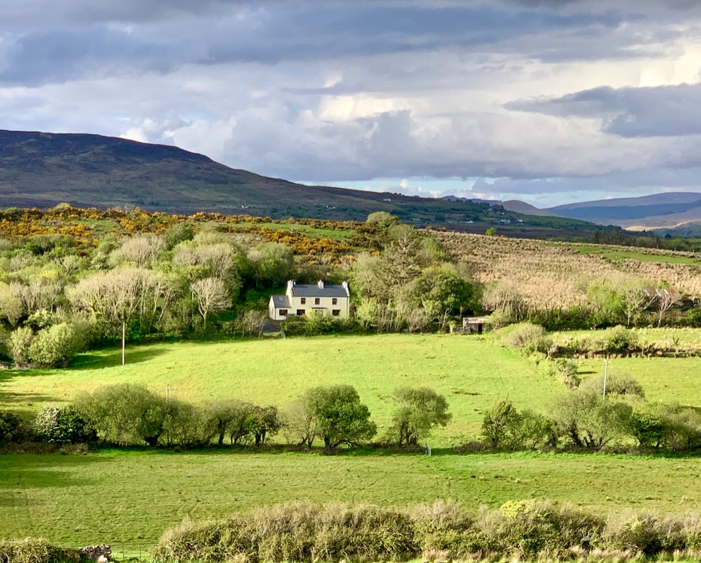 InishaghooIslet · 2.6 mi
 Bunacurry Franciscan MonasteryHeritage attraction · 2.6 mi
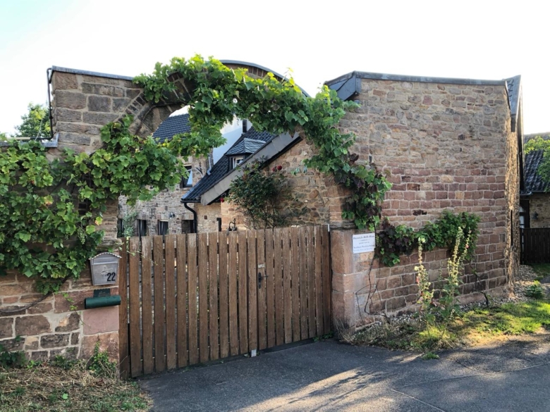 Heinrich-Böll-CottageHeritage attraction · 3.5 mi