What is recorded here
Off the summit of a W-facing slope in hilly terrain. Monument levelled. Marked on 1st (1840) ed. OS 6-inch map as small roughly rectangular field (diam. c. 49m N-S x 52m E-W) but not indicated on latest (1907) ed. The S side of the enclosure is delimited by a road. The N and W sides appear to have been enclosed by a laneway which may have exaggerated the bank profile of the adjacent field boundaries. A limekiln is depicted on 1st ed. OS 6-inch map in SE corner of the field, no visible trace of which survives. The enclosure is partially hachured on the 1st ed. map, possible antiquity though more likely to be a small field or perhaps a quarry, now filled in.
Compiled by: Jean Farrelly
Date of upload: 26 August 2011
This remains an important historical record, but the official description says the monument is no longer visible or has been destroyed. The monument record does not grant public access. Check the route and ask the landowner before entering private land.
- What survives
- No visible remains or recorded as destroyed
Places near here
 Enclosure in SkeheenarankyEnclosure · 772 yd
 Enclosure in DanganEnclosure · 861 yd
 Coolantallagh Househouse · 1.3 mi
 Mitchelstown CaveCave · 1.3 mi
 CastleCastle, ringwork · 1.4 mi
 Site of CastleCastle, unclassified · 1.4 mi
 Knocknagapple Church (in ruins)Church · 1.5 mi
 Ronald Reagan CentreHeritage attraction · 1.7 mi
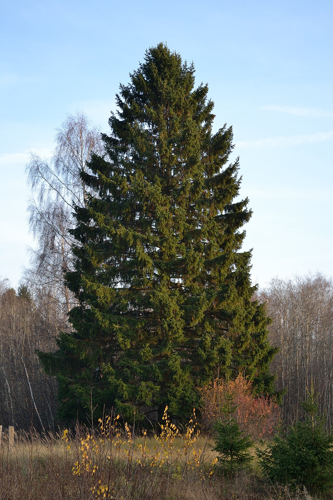 Norway SpruceNorway Spruce · 2.6 mi
 Giant SequoiaGiant Sequoia · 2.7 mi
 Lyrefune HillMountain / peak · 2.8 mi
 Curraleigh MountainMountain / peak · 2.9 mi