What is recorded here
Twenty-five metres across on a low ridge in County Dublin, the enclosure still holds the ghost shapes of pits and postholes beneath the soil. It sits twenty-seven metres from a neighbouring ring, suggesting two households or one divided life rather than a lonely marker. The road realignment nearly erased the memory, but the ground refused to forget its occupants.
An enclosure was identified by geophysical survey (Licence no. 07R0230 ext.) undertaken in advance of a road realignment scheme. The circular enclosure (25m diam.) is located 27m N of another enclosure DU015-118--- on the S-facing slope of a low E – W ridge. Internal responses indicative of pits and postholes have been identified suggesting an area of occupation or settlement (Harrison 2008, 8).
Compiled by: Christine Baker
Date of upload: 6 February 2015
The monument record does not grant public access. Check the route and ask the landowner before entering private land.
- What survives
- Recorded monument
Places near here
 Ring-ditch in DrumnighRing-ditch · 223 yd
 Ring-ditch in Snugborough (coolock By.)Ring-ditch · 328 yd
 RoadRoad, road/trackway · 686 yd
 Strand Mill RuinsRuins · 897 yd
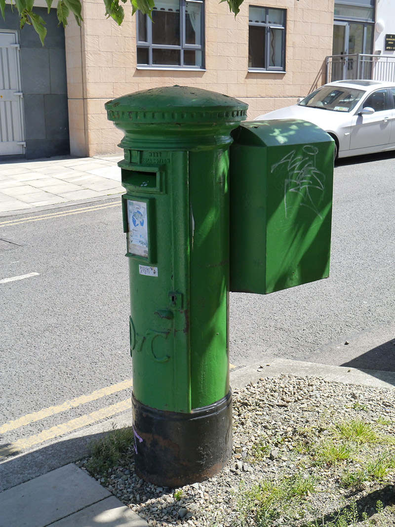 post boxpost box · 1211 yd
 Baldoyle Estuary Nature ReserveNature reserve · 1619 yd
 Map of Baldoyle Industrial EstateVisitor information · 1.0 mi
 Portmarnock BeachBeach / strand · 1.3 mi
 St Catherine's WellSpring · 1.3 mi
 Black WoodWood · 1.5 mi
 Ayrfied UnitedHeritage attraction · 1.8 mi
 MoatCastle, motte and bailey · 1.8 mi