What is recorded here
On a spot height (80m OD) named ‘Knocklaur’ on OS historic mapping, on a ridge (long-axis ENE-WSW) with panoramic views NW-NE and SE-SW. This is a subcircular area (19m NNW-SSE; 22m ENE-WSW) defined by a scarp (Wth 2.2m; H 0.45m). A possible entrance (Wth 2.5m) is located at NW. There are traces of a fosse (base Wth 1.4m; overall Wth 4.6m; D 0.05m) S-WNW and NE-E. The interior is level yet uneven, possibly due to the levelled remains of ridge and furrow within and there is a shallow depression in the western portion which may be the location of a former trigonometric point depicted on OS historic mapping. There is some well-preserved ridge and furrow (Wth 5m; H 0.15-0.2m) extending across the ridge, to W of the monument. There is a rectangular platform (12m NNW-SSE; 21m ENE-WSW) adjoining the monument to N. It is defined by a scarp (Wth 1.5m; H 0.2m) which is more pronounced (Wth 7.5m; H 1.3m) and levelled out on the downslope to N.
The following images have been uploaded:
CL036-047----_01.jpg From WSW. General view of monument.
CL036-047----_02.jpg From NW. Cross-section view of scarp and fosse at SW.
CL036-047----_03.jpg From NNW. Cross-section view of broad ridge and furrow.
Compiled by: Mary Tunney, Alison McQueen and Vera Rahilly
Date of upload: 8 January 2019
A local fairy fort (ringfort/rath); wider significance not recorded.
The monument record does not grant public access. Check the route and ask the landowner before entering private land.
- What survives
- Recorded monument
Places near here
 Enclosure in DrummodEnclosure · 232 yd
 Knockbrack FortEnclosure · 850 yd
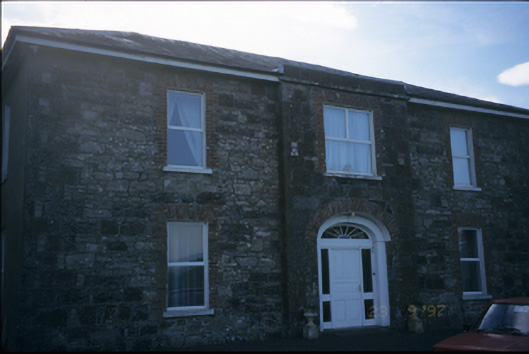 Fort Edwardhouse · 1.0 mi
 Church in BallydonaghanChurch · 1.1 mi
 Caherhurly Castle (in Ruins)Castle, unclassified · 1.8 mi
 Coolreagh Ho. (in Ruins)Castle, tower house · 1.9 mi
 Common LimeCommon Lime · 3.8 mi
 Tuamgraney Community WoodlandsWood · 3.9 mi
 DoonHeritage attraction · 4.6 mi
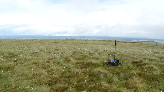 MoylussaMountain / peak · 4.8 mi
 Mass RockMemorial · 7.1 mi
 Kilroughil Graveyard (Site of)Archaeological place · 7.4 mi
Other information
Photo: Credit not shown in the picture search · Rights wording not checked; contact us if this picture should be removed