What is recorded here
'The site was indicated on the first edition of the OS maps as a curved field boundary and was not visible in the field prior to topsoil-stripping. The site then became apparent as an enclosure, c. 56m in diameter, delimited by a ring of fragmented sandstone stones, which were interpreted as representing the levelled bank. The excavation showed that the surrounding ditch was 1.7-5.2m wide and l.l-2.4m deep. The ditch was backfilled in two stages. The upper fill was modern, while the layers below appear to have been a deliberate backfill, perhaps in antiquity. Basal silt in the ditch fill indicated that the ditch had been open for some time prior to the primary infill. The interior of the site did not contain any surviving features contemporary with the construction and use of the monument. The date of the monument is unknown. The excavator suggested that the absence of any obvious domestic remains may suggest a ritual function for the site.'
Description from ‘The Prehistoric Settlement of the Lee Valley, Tralee, Co. Kerry; A Landscape Perspective’ by Michael Connolly. PhD Thesis UCC 2008
Date of upload: 22 June 2012
The monument record does not grant public access. Check the route and ask the landowner before entering private land.
- What survives
- Recorded monument
Places near here
 Enclosure in BallybegganEnclosure · 425 yd
 Enclosure in Muing WestEnclosure · 644 yd
 CastleCastle, tower house · 698 yd
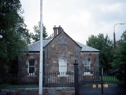 Collis-Sandes Housegate lodge · 1228 yd
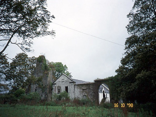 Woodlawnhouse · 1346 yd
 Monterey PineMonterey Pine · 1401 yd
 Crimea Cannon and War MemorialMonument · 1.8 mi
 Civil War MemorialMemorial · 1.8 mi
 John Hurley GalleryGallery · 1.9 mi
 Castle MacallistrumCastle, unclassified · 1.9 mi
 Kerry County MuseumMuseum · 2.0 mi
 Tralee Bay Wetlands Eco and Activity ParkNature reserve · 2.5 mi