What is recorded here
In rough pasture, on a N-facing slope with excellent views W-N-E. Sub-circular area (dims. c. 28m N-S; c. 30m E-W) completely overgrown and inaccessible, except for small area on E and S side. Sharp drop evident on E and S sides, indicating the monument is a depression, possibly a disused quarry. Southern arc of site truncated by field boundary (long-axis E-W). A field boundary (long-axis N-S) radiates from the enclosure at N and an ESB pylon is located to NNE.
Compiled by: Jean Farrelly
Date of upload: 26 August 2011
The monument record does not grant public access. Check the route and ask the landowner before entering private land.
- What survives
- Recorded monument
Places near here
 Fulacht fia in DromlineFulacht fia · 302 yd
 IndicatedHilltop enclosure · 830 yd
 Church (in ruins)Church · 1147 yd
 Dromline CastleCastle · 1272 yd
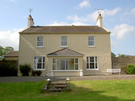 Knockballynoe Househouse · 1306 yd
 Castle (in ruins)Castle, unclassified · 1.2 mi
 European ashEuropean ash · 1.5 mi
 Bansha ForestForest · 2.4 mi
 I.R.A. 3rd. Tipperary Brigade MemorialMemorial · 3.0 mi
 It's a long way to TippereryHeritage attraction · 3.6 mi
 The Maid of ErinMemorial · 3.8 mi
 The RockViewpoint · 4.0 mi