What is recorded here
Enclosure in Dromlara is a 39 by 27 metre oval cropmark in wet pasture, ninety metres from two ringforts and never drawn on historic maps. It appeared first in 1986 aerial photography and still shows in satellite images, suggesting people shaped that low ground long before surveyors arrived. The nearby ringforts imply a lived landscape where enclosure, defence and pasture intertwined, while the missing map line preserves the mystery of what was hidden in plain sight.
In low-lying, improved wet pasture, 225m W of a stream and 145m W of a townland boundary with Brackyle. Not depicted on OSi historic maps. Ringforts (LI024-024/025----) lie 90m to N and 100m to SE, respectively. Monument identified as a suboval-shaped cropmark by the Bruff aerial photographic survey in 1986 (Bruff 140: AP 4/3723). Monument is visible as an oval-shaped cropmark (39m N-S; 27m E-W) on OSi orthophoto taken 2005-2012, on Digital Globe orthoimage taken 2011-2013 and on Google Earth orthoimage taken 18/11/2018.
See attached Google Earth orthoimage taken 18/11/2018 and Bruff aerial survey image labelled Bruff 140.
Compiled by: Alison McQueen and Vera Rahilly
Date of upload: 12 October 2020
The monument record does not grant public access. Check the route and ask the landowner before entering private land.
- What survives
- Recorded monument
Places near here
 BarrowBarrow, ditch barrow · 757 yd
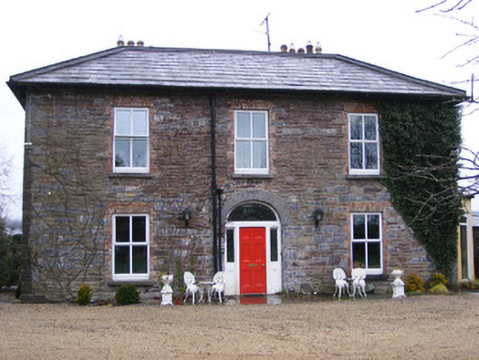 Sunville Househouse · 1023 yd
 Enclosure in SunvilleEnclosure · 1031 yd
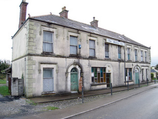 hotelhotel · 1110 yd
 ToberagaddySpring · 1126 yd
 Kilduff CastleCastle · 1152 yd
 Kilduff Castle (in ruins)Castle, tower house · 1153 yd
 KnockseefinMountain / peak · 1.9 mi
 Oola HillMountain / peak · 4.2 mi
 St. Patrick's WellSpring · 4.5 mi
 Graveyard in AbingtonGraveyard · 5.9 mi
 Flat cemetery in Knockainy WestFlat cemetery · 8.9 mi