What is recorded here
In gently undulating pasture, 200m to SE of Sun Ville house and 23m ESE of townland boundary with Sunville. Not depicted on OS historic mapping. Monument identified as an oval-shaped cropmark by the Bruff aerial photographic survey in 1986 (Bruff 134: AP 4/3723). Visible as an oval-shaped cropmark (approx. dims. 31m WNW-ESE x 29m NNE-SSW) on Digital Globe orthophotos taken 2011-13 and on Google Earth orthoimages taken 28/06/2018.
See attached Google Earth orthoimage and Bruff aerial survey image.
Compiled by: Alison McQueen and Vera Rahilly
Date of upload: 23 July 2020
The monument record does not grant public access. Check the route and ask the landowner before entering private land.
- What survives
- Recorded monument
Places near here
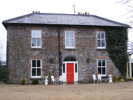 Sunville Househouse · 239 yd
 Enclosure in SunvilleEnclosure · 281 yd
 Enclosure in Garrane MoreEnclosure · 483 yd
 Old Bridgebridge · 626 yd
 Kilduff Castle (in ruins)Castle, tower house · 1505 yd
 Kilduff CastleCastle · 1505 yd
 ToberagaddySpring · 1591 yd
 KnockseefinMountain / peak · 1.8 mi
 St. Patrick's WellSpring · 4.6 mi
 Oola HillMountain / peak · 4.6 mi
 Graveyard in AbingtonGraveyard · 5.5 mi
 Flat cemetery in Knockainy WestFlat cemetery · 9.0 mi