
What is recorded here
The story begins with the visible fact in the local area and the exact difference that still can be seen. The facts above support that starting point. The missing part should remain absent because completion would turn evidence into invention.
On a pasture terrace, on the W-facing slopes of Cobduff overlooking Glengarriff. A circular area (diam. 10m) is defined by the jumbled remains of a stone wall (T 0.9m; H 0.45m) NW-SE and elsewhere by the damaged edge of a scarp, from the top of which the enclosing element of stones has largely been removed. A slab, set radially on the perimeter at NE, probably indicates one side of the entrance. The level interior is raised (H 0.2m) at W and cut into the upsloping bank (D 0.8m) at E. An enclosure (CO105-055001-) and a cairn (CO105-055003-) lie c. 140m to the NW and c. 200m to the S, respectively.
The above description is derived from 'The Archaeological Inventory of County Cork. Volume 5' (Dublin: Stationery Office, 2009).
Date of upload: 22 December 2009
The monument record does not grant public access. Check the route and ask the landowner before entering private land.
- What survives
- Recorded monument
Places near here
 CairnCairn, unclassified · 230 yd
 Field boundary in DerroograneField boundary · 589 yd
 An Cab DubhMountain / peak · 1172 yd
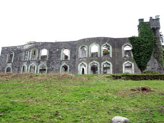 Glengarriff House Hotelcastle/fortified house · 1294 yd
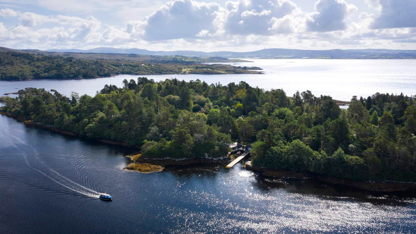 Garranboy IslandIslet · 1582 yd
 Derrycreha Househouse · 1584 yd
 Calf IslandIslet · 1725 yd
 Tasmanian bluegumTasmanian bluegum · 1.2 mi
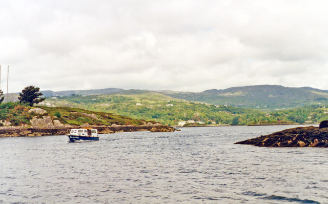 Glengarriff BayBay · 1.4 mi
 The Blue PoolHeritage attraction · 1.5 mi
 Bryce HouseMuseum · 1.6 mi
 Graveyard in CappyaughnaGraveyard · 1.7 mi
Other information
Photo: Credit not shown in the picture search · Rights wording not checked; contact us if this picture should be removed