
What is recorded here
This monument was partially excavated (Licence no. 04E1604) in advance of development. A multi-period site, this circular enclosure (c. 28m diam.) truncated the E end of an earlier rectangular enclosure (DU012, 094002-). The ditch varies in width between 5.5-6.2m in width and up to 1.9m in depth with a total of twenty-six fills. A rich organic deposit was identified throughout the entire ditch which included fragments of wood such as barrel hoops, a possible barrel stave and sharpened stakes. A probable bridge consisting of four large postholes was identified directly in line with a metalled surface. Two radiocarbon dates were recovered from the base of the enclosure ditch. An apple sample attained a date of 1010 +/- 34 AD while an oak sample attained a date of 509 +/- 31 AD. A discrepancy of 500 years has been ascribed to ‘old wood’ effect (Halliday 2008, 23). The E quadrant of the site was preserved in situ within open space.
Compiled by: Christine Baker
Date of upload: 5 February 2015
The monument record does not grant public access. Check the route and ask the landowner before entering private land.
- What survives
- Recorded monument
Places near here
 Ring-ditch in DrinanRing-ditch · 107 yd
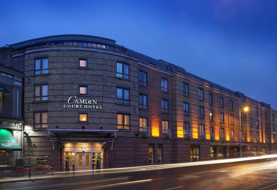 Kinsealy CourtMemorial · 536 yd
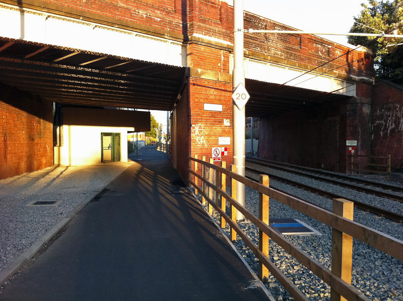 St. WerburghsHoly well · 596 yd
 Kiln in DrinanKiln · 1166 yd
 Saint Colmcille's Catholic Churchchurch/chapel · 1466 yd
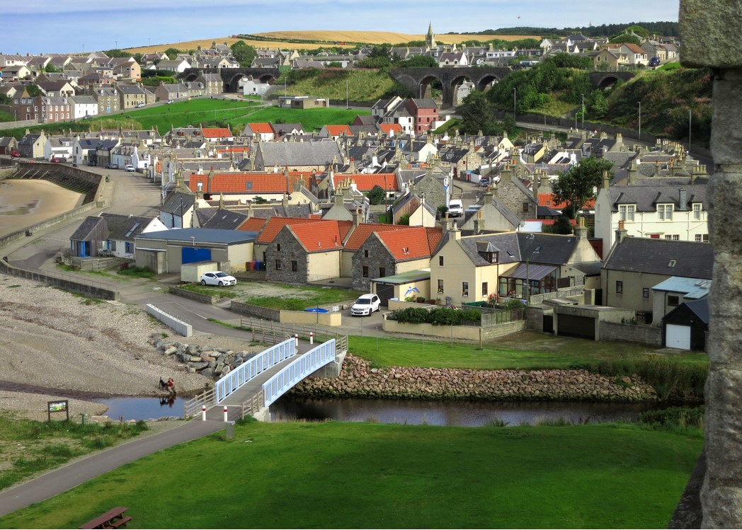 Seatown CastleCastle, tower house · 1487 yd
 St Colmcilles WellVisitor information · 1621 yd
 Swords CastleCastle · 1.0 mi
 Fingal Tourism OfficeVisitor information · 1.0 mi
 Swords Round TowerHeritage attraction · 1.1 mi
 Kim Archibold MemorialMemorial · 1.6 mi
 The JackoWood · 1.7 mi
Other information
Photo: Credit not shown in the picture search · Rights wording not checked; contact us if this picture should be removed