
What is recorded here
Depicted as hachured rectangular enclosure (c. 35m NW-SE; c. 25m NE-SW) on 1842 OS 6-inch map; hachured fosse defines NE and SE side on 1936 OS 6-inch maps, with NW side shown as field boundary. On N side of stream glen and c. 60m SW of River Deel. No visible surface trace. According to local information, deep depression here was partially infilled by machine suggesting this may have been a quarry. Listed by Barry (1981, 83, no. 29). Moated site (14210) c. 300m to NE on opposite side of River Deel.
The above description is derived from the published 'Archaeological Inventory of County Cork. Volume 4: North Cork' (Dublin: Stationery Office, 2000). In certain instances the entries have been revised and updated in the light of recent research.
Date of upload/revision: 14 January 2009
A local fairy fort (ringfort/rath); wider significance not recorded.
The monument record does not grant public access. Check the route and ask the landowner before entering private land.
- What survives
- Recorded monument
Places near here
 Teampullnaboin (in Ruins)Church · 566 yd
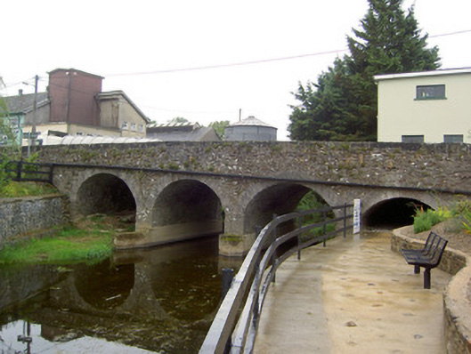 Scart Bridgebridge · 794 yd
 Castle (in Ruins)Castle, Anglo-Norman masonry castle · 876 yd
 LisnakillaFairy fort / earthen ringfort · 1214 yd
 Concentric enclosure in DoonyConcentric enclosure · 1670 yd
 Castle LisheenCastle · 1.2 mi
 National Co-op MuseumMuseum · 2.1 mi
 ToberacappeenSpring · 2.4 mi
 ToberhoranSpring · 4.5 mi
 Battle of LiscarrollMajor battlefield · 5.6 mi
 Windmill HillMountain / peak · 6.0 mi
 Mullaghareirk - Banane LoopWalking route · 8.3 mi
Other information
Photo: Credit not shown in the picture search · Rights wording not checked; contact us if this picture should be removed