
What is recorded here
Lisnakilla is a faded ringfort in Cork pasture, reduced to a shallow ditch and a buried memory of its own shape. Cattle still walk the place where humans once drew a circle around life, and the land has kept only enough of the line to suggest that the boundary existed. What was lost is not important. The district remembers the shape of resistance, even when the wall is gone.
In pasture. Depicted as hachured penannular enclosure (diam. c. 70m), open to ESE, on 1842, 1905 and 1937 OS 6-inch maps. Townland boundary, extending NW-SE, bisects enclosure of-centre to NE. Fosse (D 0.35m) survives NNW->N, with scarp continuing line of enclosure N->ENE; not visible at ground level elsewhere. According to local information, enclosure (SE->NNW) to SW of townland boundary levelled c. 1964. Depression on edge of enclosure to N is all that remains of lime kiln marked on 1842 OS 6-inch map.
The above description is derived from the published 'Archaeological Inventory of County Cork. Volume 4: North Cork' (Dublin: Stationery Office, 2000). In certain instances the entries have been revised and updated in the light of recent research.
Date of upload/revision: 14 January 2009
The monument record does not grant public access. Check the route and ask the landowner before entering private land.
- What survives
- Recorded monument
Places near here
 Fortwilliamcountry house · 146 yd
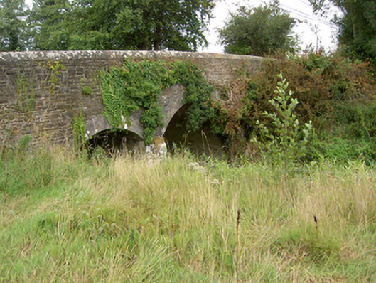 Kilbeg Bridgebridge · 891 yd
 Urn burial in BallaghareaUrn burial · 1095 yd
 Enclosure in DoonyEnclosure · 1214 yd
 Castle LisheenCastle · 1357 yd
 Castle (in Ruins)Castle, Anglo-Norman masonry castle · 1.1 mi
 National Co-op MuseumMuseum · 2.2 mi
 ToberacappeenSpring · 2.8 mi
 ToberhoranSpring · 4.9 mi
 Battle of LiscarrollMajor battlefield · 5.0 mi
 Windmill HillMountain / peak · 5.8 mi
 Stanner's Glen, Priory WoodWood · 8.0 mi
Other information
Photo: Credit not shown in the picture search · Rights wording not checked; contact us if this picture should be removed