What is recorded here
In level meadow, in flood plain of River Dooaly. Circular area (diam. 12m) enclosed by earthen bank (int. H 0.15m; ext. H 0.6m; Wth 4m) with external fosse (D 0.2m; Wth 6.9m).
Compiled by: Denis Power
Date of upload: 26 August 2011
The monument record does not grant public access. Check the route and ask the landowner before entering private land.
- What survives
- Recorded monument
Places near here
 Dooally Bridgebridge · 962 yd
 Churchtown Housecountry house · 1102 yd
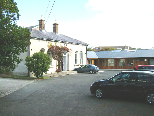 Enclosure in ChurchtownEnclosure · 1131 yd
 IndicatedFairy fort / earthen ringfort · 1306 yd
 Templars Castle (in ruins)Castle, Anglo-Norman masonry castle · 1.4 mi
 Limerick GreenwayWalking route · 2.7 mi
 CahermoyleCastle, unclassified · 3.2 mi
 St. Luke's WellSpring · 3.4 mi
 Sugar HillMountain / peak · 4.1 mi
 St. Kieran's WellSpring · 4.6 mi
 Ballagh MountainMountain / peak · 6.9 mi
 Lawson's CypressLawson's Cypress · 8.1 mi