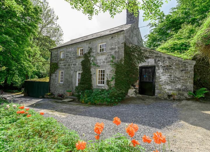
What is recorded here
Cropmark of roughly circular-shaped enclosure (approx. diam. 53m) with radiating field system visible on Google earth aerial imagery. Possible entrance gap at NW and cropmarks of internal features visible.
See attached image taken from Google Earth aerial photographs taken 28/06/2018
Compiled by: Caimin O'Brien based on details provided by Jean-Charles Caillère
Date of upload: 28 May 2019
The monument record does not grant public access. Check the route and ask the landowner before entering private land.
- What survives
- Recorded monument
Places near here
 Museum of MotorsportMuseum · 229 yd
 Enclosure in StickinsEnclosure · 815 yd
 St. Patricks BushRitual site, holy tree/bush · 1448 yd
 Landenstown Bridge and 17th Lockbridge · 1.0 mi
 Catholic Church of Our Lady and Saint Josephchurch/chapel · 1.3 mi
 IndicatedCastle, tower house · 1.6 mi
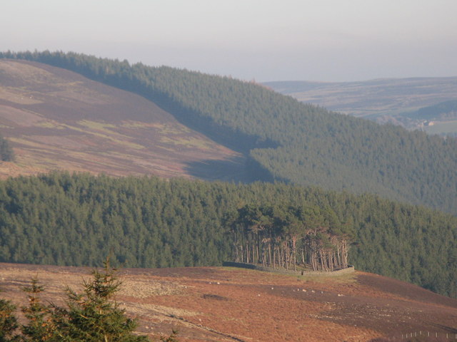 TumulusWood · 2.2 mi
 Grand Canal WayVisitor information · 3.1 mi
 Castle (in Ruins)Castle, unclassified · 3.2 mi
 Naas ParkWood · 3.9 mi
 Poplar SquarePicnic place · 4.2 mi
 Athgoe HillMountain / peak · 9.6 mi
Other information
Photo: Credit not shown in the picture search · Rights wording not checked; contact us if this picture should be removed