
What is recorded here
The following description is derived from the published 'Archaeological Inventory of County Meath' (Dublin: Stationery Office, 1987). In certain instances the entries have been revised and updated in the light of recent research.
Date of upload/revision: 10 July 2007
Raised area, now almost entirely quarried away (H c. 3m), surrounded by two berms with remains of earthen banks at edges of both berms. May have been ringfort or motte.
The monument record does not grant public access. Check the route and ask the landowner before entering private land.
- What survives
- Recorded monument
Places near here
 Stackallan Bridgebridge · 339 yd
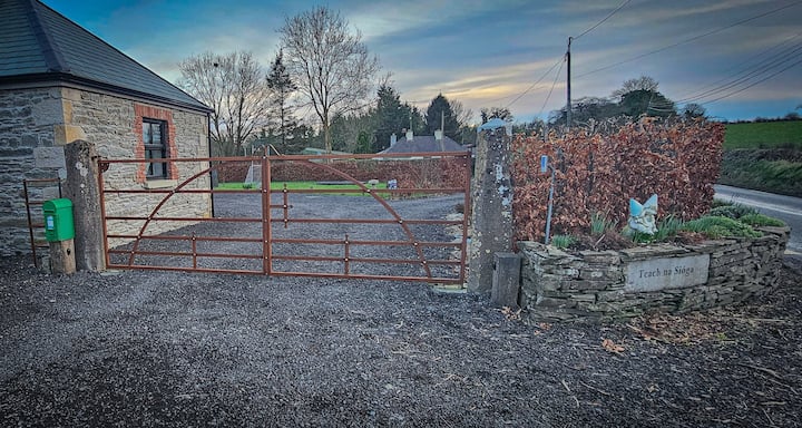 Enclosure in Haystown AND Carnuff LittleEnclosure · 341 yd
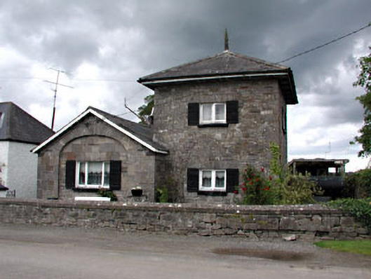 unknownunknown · 831 yd
 Cocker's WoodWood · 951 yd
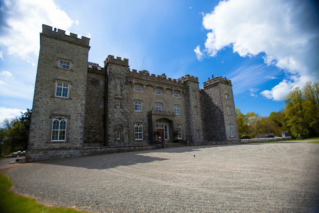 LugareeRitual site, pond · 1099 yd
 Cruicetown WoodWood · 1428 yd
 CastleCastle, motte · 1.5 mi
 Dunmoe CastleCastle, unclassified · 1.9 mi
 Carn HillMountain / peak · 2.5 mi
 RiverviewMemorial · 2.7 mi
 Pat's Art StudioGallery · 2.8 mi
 Donaghmore Round TowerHeritage attraction · 3.0 mi
Other information
Photo: Credit not shown in the picture search · Rights wording not checked; contact us if this picture should be removed