What is recorded here
In rough hill pasture, on blanket bog, on a S-facing slope overlooking the valley of the Kealduff River and within a network of relict field boundaries (KE083-019002-). A D-shaped area (12m E-W) defined by the lower courses of a partially collapsed drystone wall (T 0.5m; H 0.9m) with a straight E side (L 8m) which is formed by a relict boundary wall of the field system. The drystone wall of the enclosure narrows as it emerges above the bog surface. The interior slopes down to the S.
The above description is derived from the published 'Archaeological Inventory of County Kerry. Volume I: South-West Kerry' (Dublin: Stationery Office, 2009). In certain instances the entries have been revised and updated in the light of recent research.
Date of upload: 30 May 2011
The monument record does not grant public access. Check the route and ask the landowner before entering private land.
- What survives
- Recorded monument
Places near here
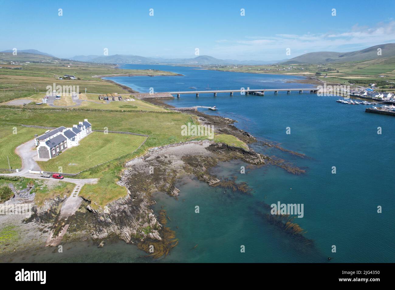 Fulacht fia in Derrygarrane NorthFulacht fia · 759 yd
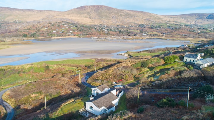 Hut site in Gearha NorthHut site · 1255 yd
 KnocklomenaMountain / peak · 1596 yd
 An Cnoc RiabhachMountain / peak · 1.9 mi
 Ballaghbeama GapViewpoint · 2.6 mi
 Blackwater Cottagehouse · 4.3 mi
 Blackwater Bridgebridge · 4.3 mi
 Eirk Bog Nature ReserveNature reserve · 4.5 mi
 Dromore CastleCastle · 4.6 mi
 Moll's GapViewpoint · 4.7 mi
 Cappanacush Castle (ruins)Castle · 4.8 mi
 Lackeen PointHeadland · 4.9 mi