What is recorded here
Not marked on the OS maps, the ruinous remains of this stone enclosure are located in boggy pasture on the N side of a stream that flows from Lough Fadda to the Kealduff river at W. The wall encloses a roughly oval-shaped area with a maximum internal dimension of 15m. It survives only one course high, measures 1.5m wide, and is faced both internally and externally with large slabs. A few slabs set on edge flank both of its faces. No entrance could be discerned. A roughly circular outline of slabs in the interior of the enclosure denotes a possible hut (KE083-080001-). This measures 3.5m x 3.3m internally.
The above description is derived from A. O'Sullivan and J. Sheehan (compilers), 'The Iveragh peninsula: an archaeological survey of South Kerry'. Cork University Press (1996), no. 733. In certain instances the entries have been revised and updated in the light of recent research.
Date of upload: 29 July 2013
The monument record does not grant public access. Check the route and ask the landowner before entering private land.
- What survives
- Recorded monument
Places near here
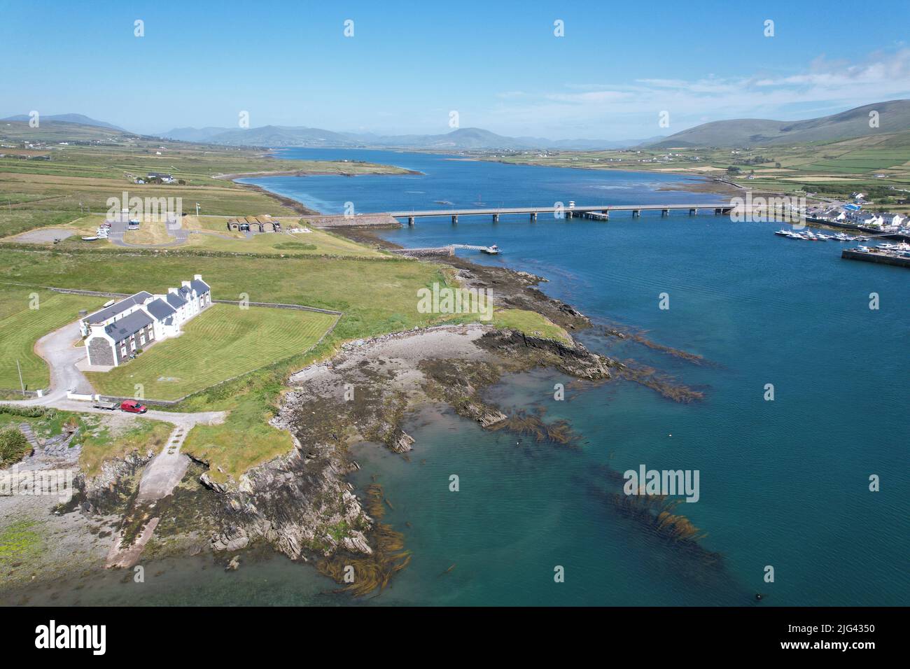 Fulacht fia in Derrygarrane NorthFulacht fia · 614 yd
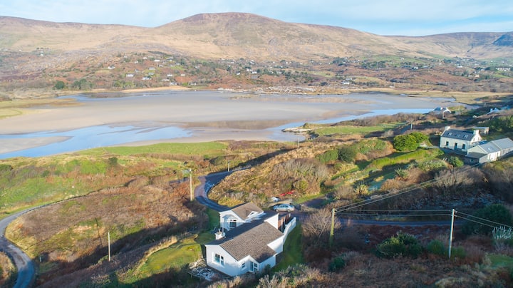 Hut site in Gearha NorthHut site · 877 yd
 KnocklomenaMountain / peak · 1.1 mi
 An Cnoc RiabhachMountain / peak · 2.2 mi
 Ballaghbeama GapViewpoint · 3.0 mi
 Blackwater Bridgebridge · 4.0 mi
 Blackwater Cottagehouse · 4.0 mi
 Dromore CastleCastle · 4.3 mi
 Eirk Bog Nature ReserveNature reserve · 4.5 mi
 Cappanacush Castle (ruins)Castle · 4.5 mi
 Lackeen PointHeadland · 4.5 mi
 Moll's GapViewpoint · 4.6 mi