What is recorded here
In rough grazing on bog at the foot of an E-facing slope at the head of Derryclogher valley. A roughly D-shaped area (7m E-W) with the straight side at E (L 8.5m), is defined by a rebuilt drystone wall (T 1m; H 1.3m) and is in occasional use as a sheep pen. The entrance (Wth 0.8m) is at NE. The present wall appears to be built on the foundations of an older wall and may be related to the remains of a field wall (CO079-001002-), which abuts the enclosure at S.
The above description is derived from 'The Archaeological Inventory of County Cork. Volume 5' (Dublin: Stationery Office, 2009).
Date of upload: 22 December 2009
The monument record does not grant public access. Check the route and ask the landowner before entering private land.
- What survives
- Recorded monument
Places near here
 Field boundary in DerryclogherField boundary · 35 yd
 Hut site in DerryclogherHut site · 101 yd
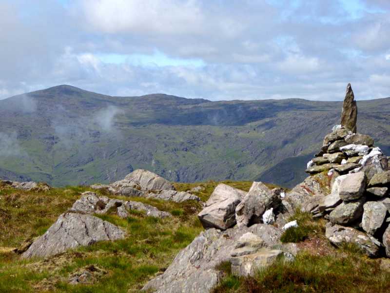 Caoinkeen South-East TopMountain / peak · 559 yd
 KinkeenMountain / peak · 1569 yd
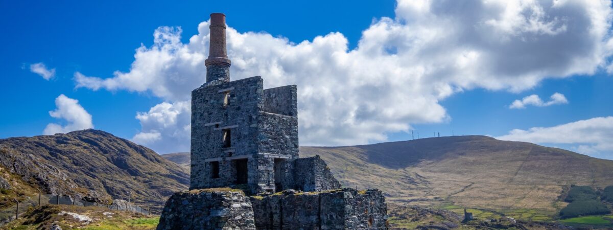 MineMine, copper · 1671 yd
 CaoinkeenCliff · 1.3 mi
 The Priests LeapViewpoint · 3.1 mi
 European ashEuropean ash · 4.2 mi
 Gougane BarraValley and heritage place · 4.3 mi
 Carriganass CastleCastle · 4.3 mi
 Bullaun StoneHeritage attraction · 4.7 mi