What is recorded here
Located in the floodplain of the river Corrib, on a pronounced bend on the W bank, in an area of very rough wet grassland and low overgrowth. This enclosure appears as a cropmark on Google Earth imagery (Google 2018). It is almost circular in plan (int. dims. c. 24.9m E-W; c. 23.3m N-S; overall dims. c. 40m E-W; 37m N-S) and it is defined by an inner fosse, intervening bank and outer fosse. An ‘avenue-like’ feature or causeway (L c. 51m; Wth c. 7.6m), aligned WNW-ESE, extends off it at E. It is also defined by two fosses and an intervening bank. Not visible at ground level. This monument was brought to our attention by Maciek Czarnota and Claire Kelly. Another possible cropmark enclosure (GA082-104----) lies c. 225m to the NW.
The following image has been uploaded: GA082-108----.pdf
Compiled by: Olive Alcock
Date of upload: 27 May 2019
The monument record does not grant public access. Check the route and ask the landowner before entering private land.
- What survives
- Recorded monument
Places near here
 Enclosure in BushyparkEnclosure · 286 yd
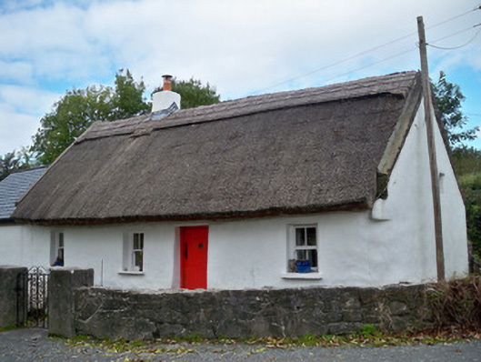 The Thatchhouse · 611 yd
 An ChroisArchaeological place · 634 yd
 Famine cottagesRuins · 655 yd
 Menlo Castle Entrance ArchRuins · 664 yd
 Menlo CastleCastle · 732 yd
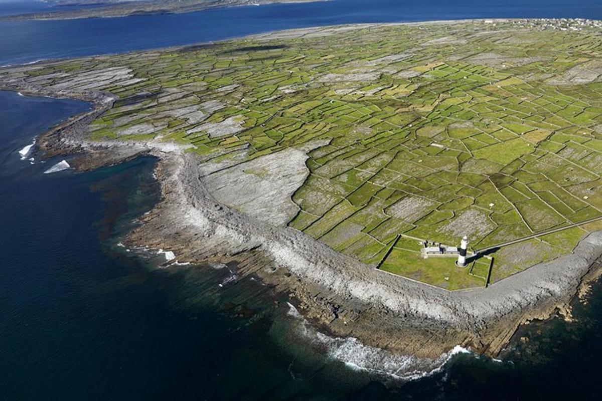 Jordan's IslandIslet · 1.3 mi
 Yew Tree MazeHeritage attraction · 1.5 mi
 University of Galway GalleryGallery · 1.7 mi
 GinkgoGinkgo · 1.8 mi
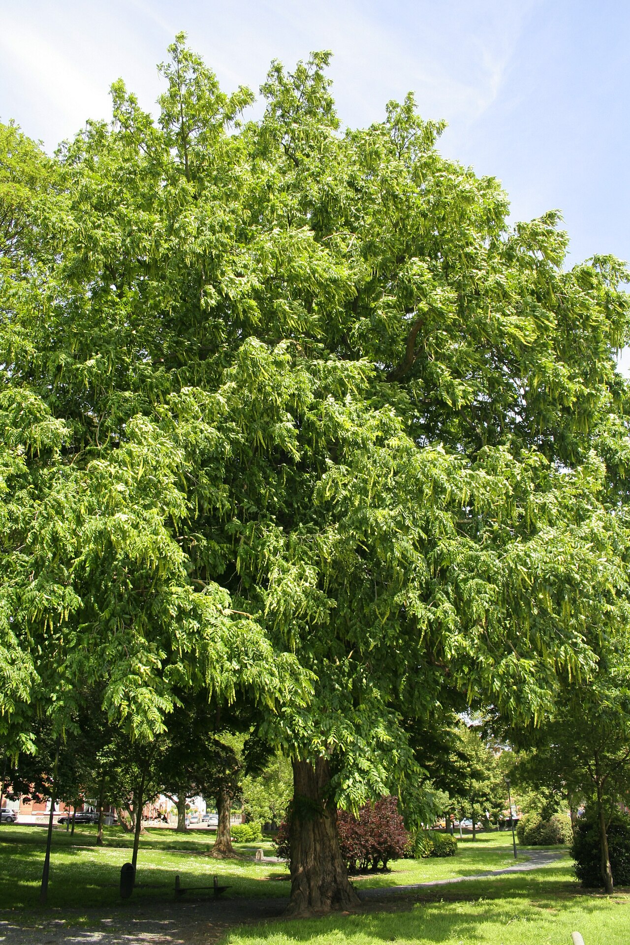 Caucasian WingnutCaucasian Wingnut · 1.8 mi
 Galway GaolMemorial · 2.1 mi