What is recorded here
In improved wet pasture with gentle surface undulations. Reported to the Archaeological Survey of Ireland as the low remains of a small enclosure. Low profile semi-circular, sunken area (dims. 14m N-S; 7m E-W) defined by an internal scarp S->NNW and the low profile remains of a levelled bank (overall Wth 5.85m; Wth at top 3.25m; int. H 0.15m; ext. H 0.1m) NNW->N; truncated by townland boundary (long-axis N-S; Wth c. 2m) and land drain (D c. 1.2m) across eastern portion. Interior is grass covered and slightly sunken. No trace of monument could be seen to E of boundary due to dense vegetation. No potential feature depicted at this location upon OS historic mapping.
Compiled by: Alison McQueen and Vera Rahilly
Date of upload: 13 January 2016
The monument record does not grant public access. Check the route and ask the landowner before entering private land.
- What survives
- Recorded monument
Places near here
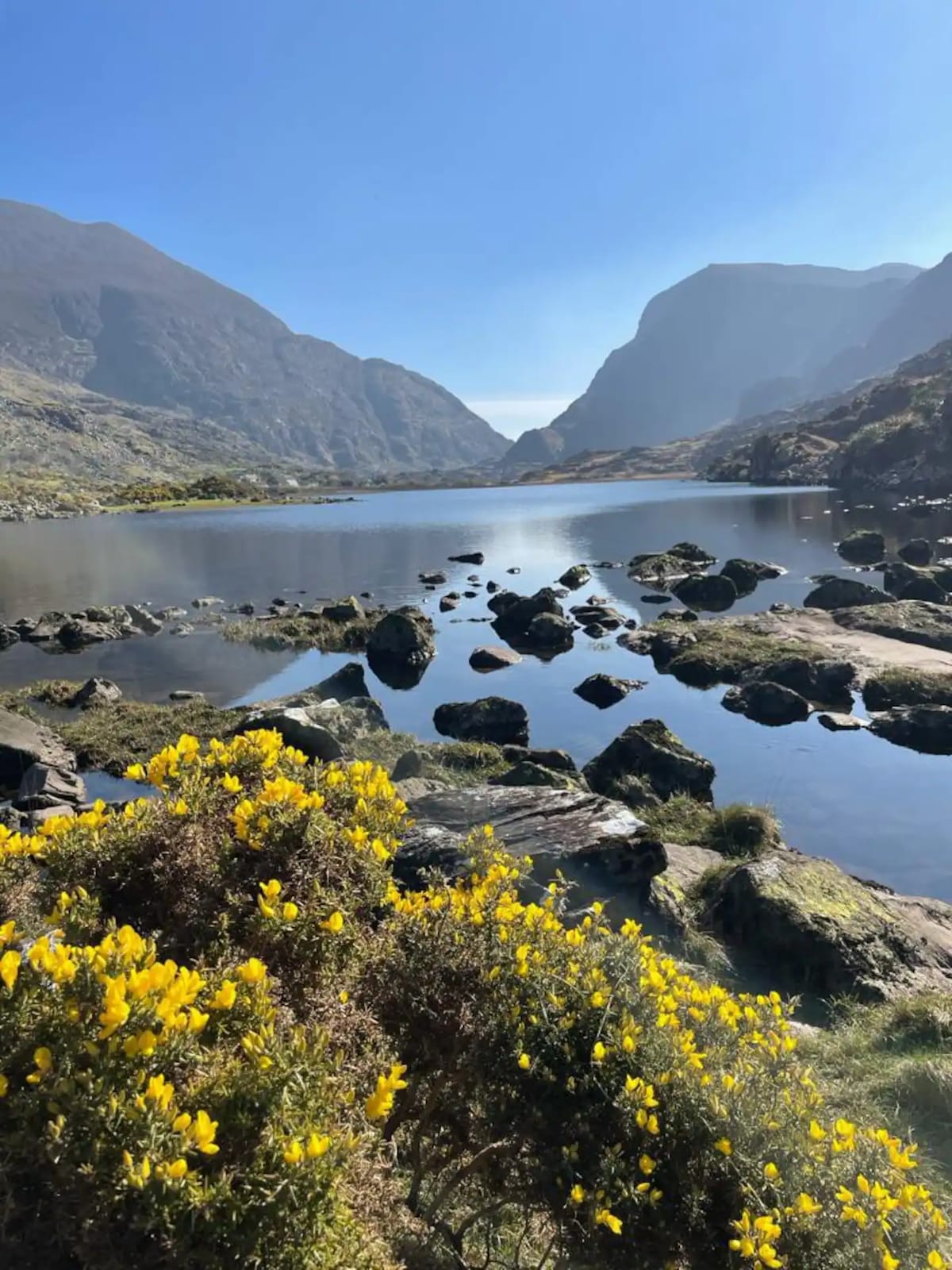 Enclosure in Barleymount EastEnclosure · 753 yd
 Enclosure in ParkavonearEnclosure · 794 yd
 Water millWater mill, horizontal-wheeled · 851 yd
 Aghadoe Church (in Ruins)Church · 1274 yd
 Aghadoe Early Medieval Ecclesiastical SiteHeritage attraction · 1317 yd
 Parkavonear CastleCastle · 1367 yd
 Circular WalkWalking route · 2.3 mi
 Famine MemorialMemorial · 2.3 mi
 Lamb IslandIsland · 2.4 mi
 Giant SequoiaGiant Sequoia · 2.6 mi
 GinkgoGinkgo · 2.6 mi
 Heron IslandIsland · 2.6 mi