What is recorded here
Visible on an aerial photograph (DoD 1999). On a very long, gentle E-facing slope. A small, sub circular area (diams. 11m N-S; 9m E-W) is defined by a broad earthen bank (Wth 6-7m; int H 0.7-1.1m; ext. H 0.8-1.2m) and narrow outer fosse (Wth 1.2-2.2m; D 0.5-0.8m). A gap (Wth 3m) in the bank at WNW and a corresponding causeway across the fosse give access to the interior. A second, narrower causeway at NW appears to be a later feature, the result of spoil from a pit dug outside the site being dumped in the fosse. A concrete pill-box is built into the enclosing bank at SW. The site is not recorded on any ed. of the OS 6-inch maps, and appears to be some sort of military earthwork.
Compiled by: Gearóid Conroy
Date of upload: 10 June 2011
The monument record does not grant public access. Check the route and ask the landowner before entering private land.
- What survives
- Recorded monument
Places near here
 Gibbet RathFairy fort / earthen ringfort · 485 yd
 Enclosure in Curragh (kildare Ed)Enclosure · 691 yd
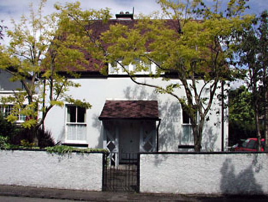 Monsofficer's house · 1.2 mi
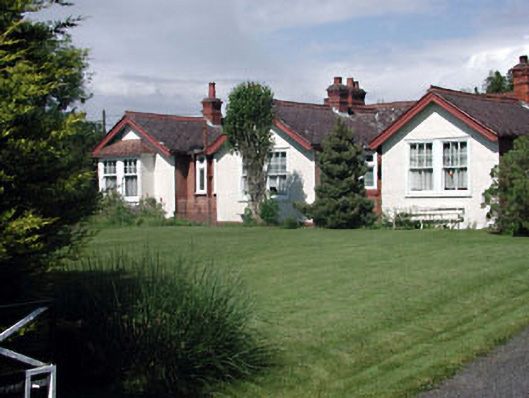 Munster Lodgeofficer's house · 1.2 mi
 Saint Fiachra's GardenHeritage attraction · 1.5 mi
 Bee-bee treeBee-bee tree · 1.5 mi
 Tully Ho.Castle, unclassified · 1.5 mi
 Dawn RedwoodDawn Redwood · 1.5 mi
 Irish National Stud and Japanese GardensHeritage attraction · 1.5 mi
 CastleCastle, motte · 1.8 mi
 Bithia Mary CrokerMemorial · 7.2 mi
 Grand Canal WayVisitor information · 8.4 mi