What is recorded here
In pasture, on crest of slight E-W ridge. Oval area (34.2m N-S; 45m E-W) defined by scarped edge (ext. H 0.9m; Wth 1.5M) with an external fosse (D 0.5m; Wth 2.3M). Entrance (Wth 9.5m) with causeway across fosse at NW. Field boundary runs along outer edge of fosse NW->N and NE->ESE. East portion of interior used as garden in recent past, but this area now covered by vegetation overgrowth. Otherwise, interior level, dry and clear of overgrowth.
Compiled by: Denis Power
Date of upload: 26 August 2011
The monument record does not grant public access. Check the route and ask the landowner before entering private land.
- What survives
- Recorded monument
Places near here
 Mahoonagh Church (in ruins)Church · 999 yd
 Castle MahonCastle · 1159 yd
 Enclosure in Mahoonagh BegEnclosure · 1243 yd
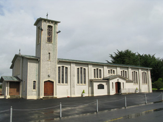 Catholic Church of Saint John the Baptistchurch/chapel · 1270 yd
 BarrowBarrow, ring-barrow · 1.7 mi
 Mayne Ho.Castle, unclassified · 1.8 mi
 Garbally WellSpring · 2.4 mi
 Sunday WellSpring · 3.5 mi
 European ashEuropean ash · 4.5 mi
 Ballagh MountainMountain / peak · 5.6 mi
 Limerick GreenwayWalking route · 6.8 mi
 Sugar HillMountain / peak · 7.6 mi