
What is recorded here
In Currage Wood, on a break in a SW-facing slope and near the top of a hill. A circular area (27m N-S; 25m E-W) is defined by a low, rounded, earthen bank (Wth 5.5m; int. H 0.4m; ext. H 0.7m). The bank is broken at NNE and NNW (Wth 3m) due to a forest path which crossed E-W through the N half of the interior. The bank and interior are planted with trees. The interior slopes gently down to the W.
The above description is derived from 'The Archaeological Inventory of County Cork. Volume 5' (Dublin: Stationery Office, 2009).
Date of upload: 22 December 2009
The monument record does not grant public access. Check the route and ask the landowner before entering private land.
- What survives
- Recorded monument
Places near here
 Curragh WoodsWood · 259 yd
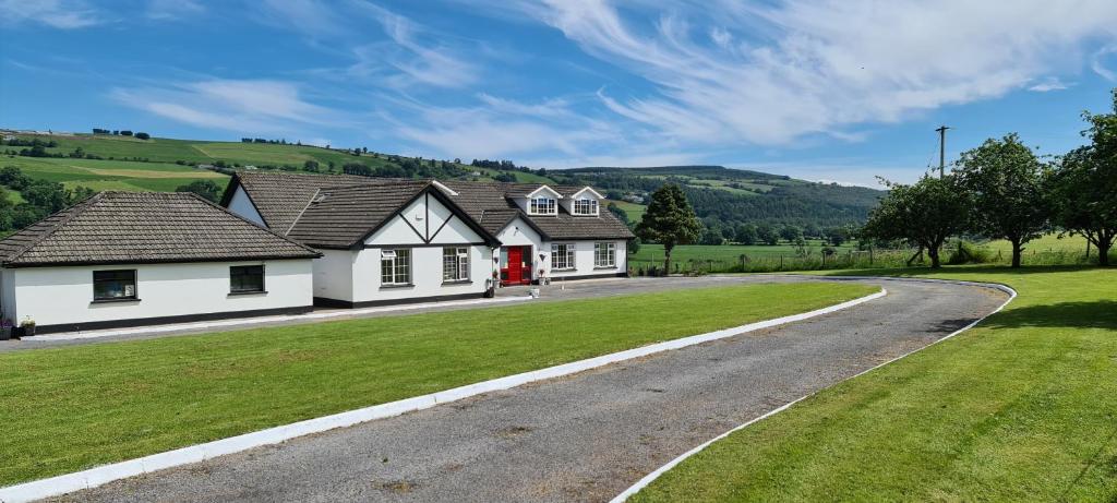 Enclosure in Curragh (barrymore By.)Enclosure · 334 yd
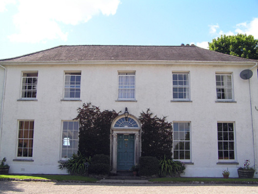 Glenviewcountry house · 630 yd
 Water Lodgesgate lodge · 935 yd
 Hilltop enclosure in Curragh (barrymore By.)Hilltop enclosure · 1154 yd
 Graveyard in Broomfield WestGraveyard · 1.6 mi
 Nellie Cashman MonumentMemorial · 2.4 mi
 Leamlara Castle (in Ruins)Castle, tower house · 2.9 mi
 Noel Collins BridgeVisitor information · 3.0 mi
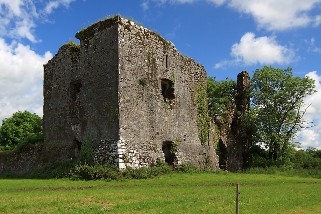 Cahermone Castle (in Ruins)Castle, tower house · 3.1 mi
 Barryscourt CastleCastle · 3.1 mi
 Ballyannan (Bluebell) WoodsForest · 3.2 mi
Other information
Photo: Credit not shown in the picture search · Rights wording not checked; contact us if this picture should be removed