What is recorded here
Situated on a gentle S-facing slope in gently undulating land near the edge of a bog to the S of the site. Not indicated on the 1st ed. (1840) OS 6-inch map but hachured as a roughly circular raised area on the 1904 ed. Not visible at ground level.
In 2002 archaeological monitoring by Aine Richardson on a residential development site located east of the enclosure, revealed no archaeological features or deposits of archaeological significance. This monitoring was carried out under Licence No. 02E0565 (Bennett 2004, 478).
The above description is derived from 'The Archaeological Inventory of County Tipperary. Vol. 1 - North Tipperary' compiled by Jean Farrelly and Caimin O'Brien (Dublin: Stationery Office, 2002). In certain instances the entries have been revised and updated in the light of recent research.
Date of upload/revision: 22 September 2008
The monument record does not grant public access. Check the route and ask the landowner before entering private land.
- What survives
- Recorded monument
Places near here
 Man-made underground passage in Cullahill (bourney Par.)Man-made underground passage · 208 yd
 RoadRoad, unclassified togher · 976 yd
 Man-made underground passage in BoolareaghMan-made underground passage · 1.1 mi
 Castle (in Ruins)Bawn · 1.3 mi
 Black HillMountain / peak · 1.4 mi
 Carricknasrock WoodWood · 1.8 mi
 Church in Bawnmadrum NorthChurch · 1.8 mi
 Bawn in Castlefleming Stubber,garrisonBawn · 3.1 mi
 Clonmeen WoodWood · 4.0 mi
 College HillMountain / peak · 4.9 mi
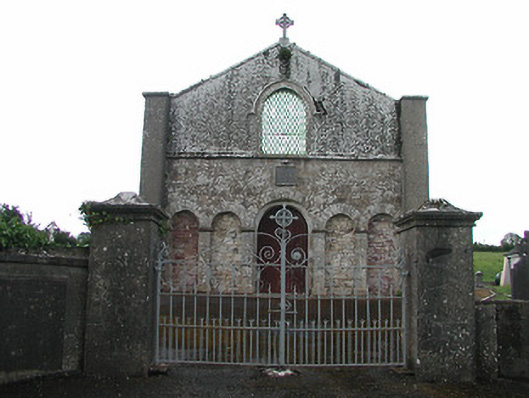 Saint Patrick's Catholic Chapelchurch/chapel · 1.9 mi
 Clonmeen Burial GroundChurch · 1.9 mi