
What is recorded here
Overgrown with trees and scrub, surrounded by pasture and tillage. Indicated on the 1st (1839) ed. OS 6-inch map as a circular enclosure (diam. c. 40m) with a farm trackway running along the perimeter from N-E-S. A field boundary is indicated running roughly N-S from the NNE sector and another runs NE-SW to the exterior of the S sector. It is similarly depicted on the 1899-1902 revision of the OS 6-inch map, though the monument appears to have been somewhat truncated by the trackway.
Compiled by: Jean Farrelly
Date of upload: 6 October 2021
The monument record does not grant public access. Check the route and ask the landowner before entering private land.
- What survives
- Recorded monument
Places near here
 Lime KilnArchaeological place · 242 yd
 Enclosure in Crowbally (gowran By.)Enclosure · 322 yd
 Castlefield Housecountry house · 694 yd
 barnbarn · 795 yd
 BogForest · 870 yd
 CastleCastle, motte · 987 yd
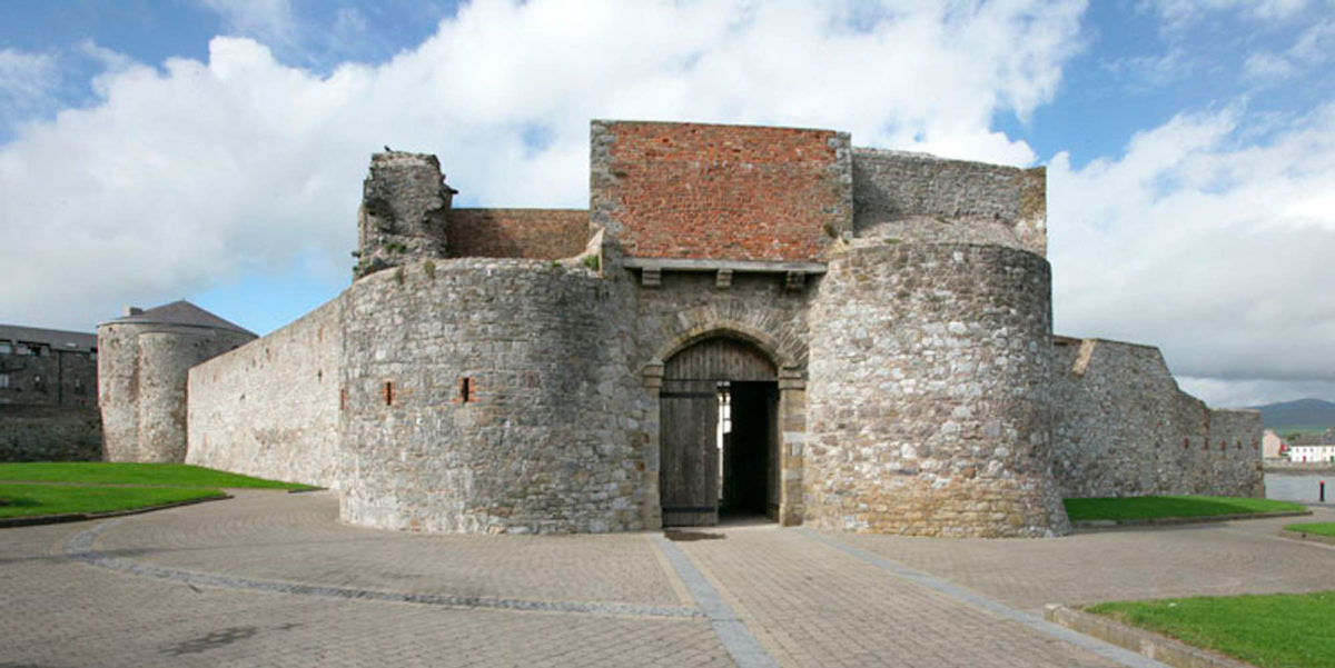 Site of Dungarvan CastleCastle, tower house · 1144 yd
 The Pey FieldForest · 1162 yd
 Tullaherin Church and Round TowerVisitor information · 1.0 mi
 Stroan FountainVisitor information · 1.9 mi
 Kilbline GraveyardArchaeological place · 2.1 mi
 Time CapsuleMemorial · 3.1 mi
Other information
Photo: Credit not shown in the picture search · Rights wording not checked; contact us if this picture should be removed