What is recorded here
Barley Lake still touches the straight bedrock wall of the D-shaped enclosure, where rough field stones rise less than a metre above the wet terrace. The lake gives the place its name and the rocks give it shape; human hands may have selected those stones, but time has erased the reason for the chamber.
This was reported by archaeologist Tony Miller in Feb. 2012. He described it as 'a D-shaped enclosure, close to the north shore of Barley Lake, c. 80m to the north of where the river exits the lake. The straight, northern side of the enclosure utilises a ridge of bedrock c2m in height. The rest of the enclosure is made of rough field stones, max. height c 0.9m and width c0.75m, with a total external width of c.9.8m east-west and c9.5m north-south. It is situated on a terrace of drier land overlooking the lake and some meters higher than it. The land around is predominately rough grazing, surrounded by steep slopes and cliffs.'
The monument record does not grant public access. Check the route and ask the landowner before entering private land.
- What survives
- Recorded monument
Places near here
 Field boundary in Derreenboy UpperField boundary · 582 yd
 Platform in Derreenboy UpperPlatform · 778 yd
 Old Stone CottagesHeritage attraction · 1.1 mi
 Derrynafulla SWMountain / peak · 1.4 mi
 Caha Far SE TopMountain / peak · 1.5 mi
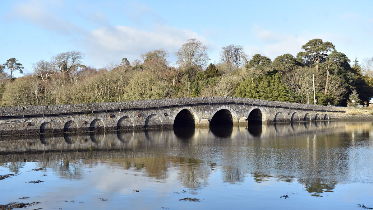 Bridge in Coorannel,derrynafullaBridge · 1.8 mi
 Glengarriff WoodsWood · 2.0 mi
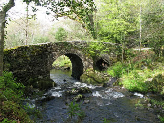 Glengarriff Nature Reservebridge · 2.3 mi
 Lady Bantry's LookoutViewpoint · 2.4 mi
 Graveyard in CappyaughnaGraveyard · 2.9 mi
 DroppaCliff · 3.1 mi
 The Blue PoolHeritage attraction · 3.2 mi