What is recorded here
On W-facing slope of a hill in undulating grassland. Very poorly preserved subcircular enclosure (ENE-WSW 35.3m, NNW-SSE 34m) delimited from N through E to SSE by the td. boundary; from SSE to S a faint rise may represent a former bank. Elsewhere a slight scarp forms the enclosing element. A stone wall is evident inside the bank at SW.
The above description is derived from the published 'Archaeological Inventory of County Galway Vol. II - North Galway'. Compiled by Olive Alcock, Kathy de hÓra and Paul Gosling (Dublin: Stationery Office, 1999).
Date of upload: 05 August 2010
The monument record does not grant public access. Check the route and ask the landowner before entering private land.
- What survives
- Recorded monument
Places near here
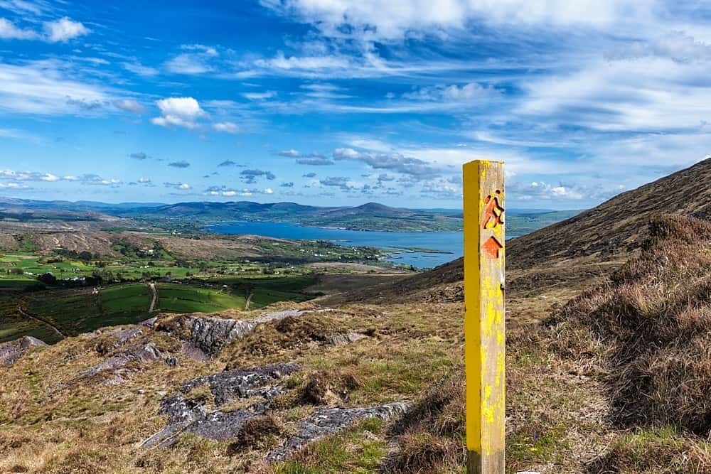 IndicatedField system · 631 yd
 ToberdoneyHoly well · 1331 yd
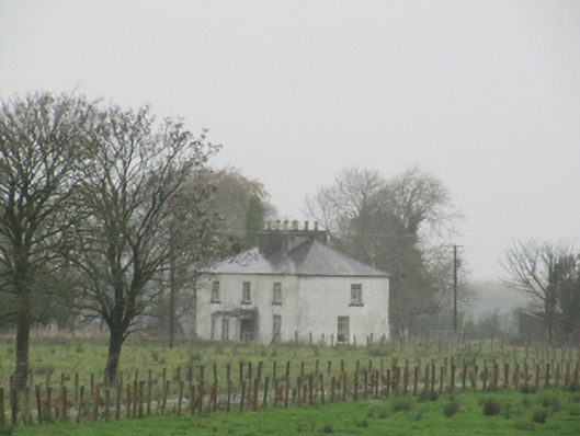 Rathglass Housecountry house · 1.2 mi
 BenmoreHouse, 18th/19th century · 1.4 mi
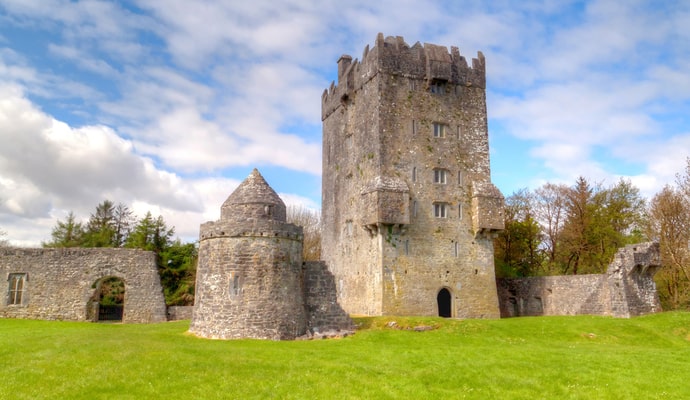 CastleCastle, unclassified · 2.2 mi
 Galboley Castle (in ruins)Castle, unclassified · 2.6 mi
 Turoe StoneHeritage attraction · 2.7 mi
 Woodlawn WoodsForest · 3.5 mi
 European Crab AppleEuropean Crab Apple · 3.8 mi
 Dartfield Horse MuseumHeritage attraction · 4.1 mi
 Battle of Aughrim Interpretative CentreMuseum · 8.2 mi
 Battle of AughrimMajor battlefield · 8.4 mi