What is recorded here
On top of a low ridge. Marked on 1st ed. of OS 6-inch map as an oval enclosure (c. 40m by c. 25m). No visible surface trace survives.
The above description is derived from the published 'Archaeological Inventory of County Galway Vol. II - North Galway'. Compiled by Olive Alcock, Kathy de hÓra and Paul Gosling (Dublin: Stationery Office, 1999).
Date of upload: 05 August 2010
The monument record does not grant public access. Check the route and ask the landowner before entering private land.
- What survives
- Recorded monument
Places near here
 Enclosure in LisleaEnclosure · 415 yd
 Religious houseReligious house, Carmelite friars · 1076 yd
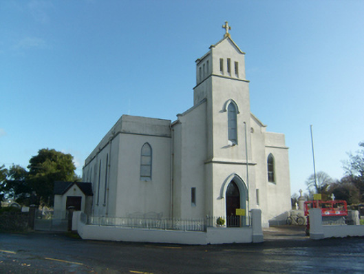 Saint Solan's Catholic Churchchurch/chapel · 1082 yd
 Enclosure in Lurgan (kilconnell By.)Enclosure · 1539 yd
 Castle (in ruins)Castle, unclassified · 1.8 mi
 Castle (Site of)Castle, unclassified · 2.0 mi
 Sweet ChestnutSweet Chestnut · 2.5 mi
 SycamoreSycamore · 2.7 mi
 Ballinlass Eviction MemorialMemorial · 5.0 mi
 Kilconnell AbbeyHeritage attraction · 6.7 mi
 Battle of Aughrim Interpretative CentreMuseum · 9.8 mi
 Mount MaryMountain / peak · 9.8 mi