
What is recorded here
From the Northern Ireland Sites and Monuments Record record DOW017:011
Places near here
Photo credits
- Maker not stated on source page, www.pinterest.com
- Maker not stated on source page, commons.wikimedia.org
- Maker not stated on source page, www.flickr.com
- Maker not stated on source page, www.thearchaeologist.org
- Maker not stated on source page, au.pinterest.com
- Maker not stated on source page, en.wikipedia.org
- Aaron, Geograph · CC BY-SA 2.0
- Albert Bridge, Geograph · CC BY-SA 2.0
- N Chadwick, Geograph · CC BY-SA 2.0
- Ardfern, Wikimedia Commons · CC BY-SA 3.0
- Maker not stated on source page, www.belfastlive.co.uk
 Standing stone in BallydornStanding Stone · 1710 yd
Explorer Tom A Standing Stone in Ballydorn that has been arguing with the rain for centuries and losing. It’s prehistoric…
 Cup-marked stone in BallymartinCup-marked Stone · 1.0 mi
Explorer Tom This cup-marked stone in Ballymartin has holes in it, but I bet they are not for drinking as some locals claim. A guy…
 Stone jetty in BallydornStone Jetty · 1.3 mi
Explorer Tom Stone jetty in Ballydorn would describe the 1800s to a teenager as 'harder but with worse fashion'. It’s been there…
 Linear stone spread in TullynakillLinear Stone Spread · 1.4 mi
Explorer Tom Linear stone spread in Tullynakill is just rocks in a line, but I bet they’re arguing about who’s first. Uncertain…
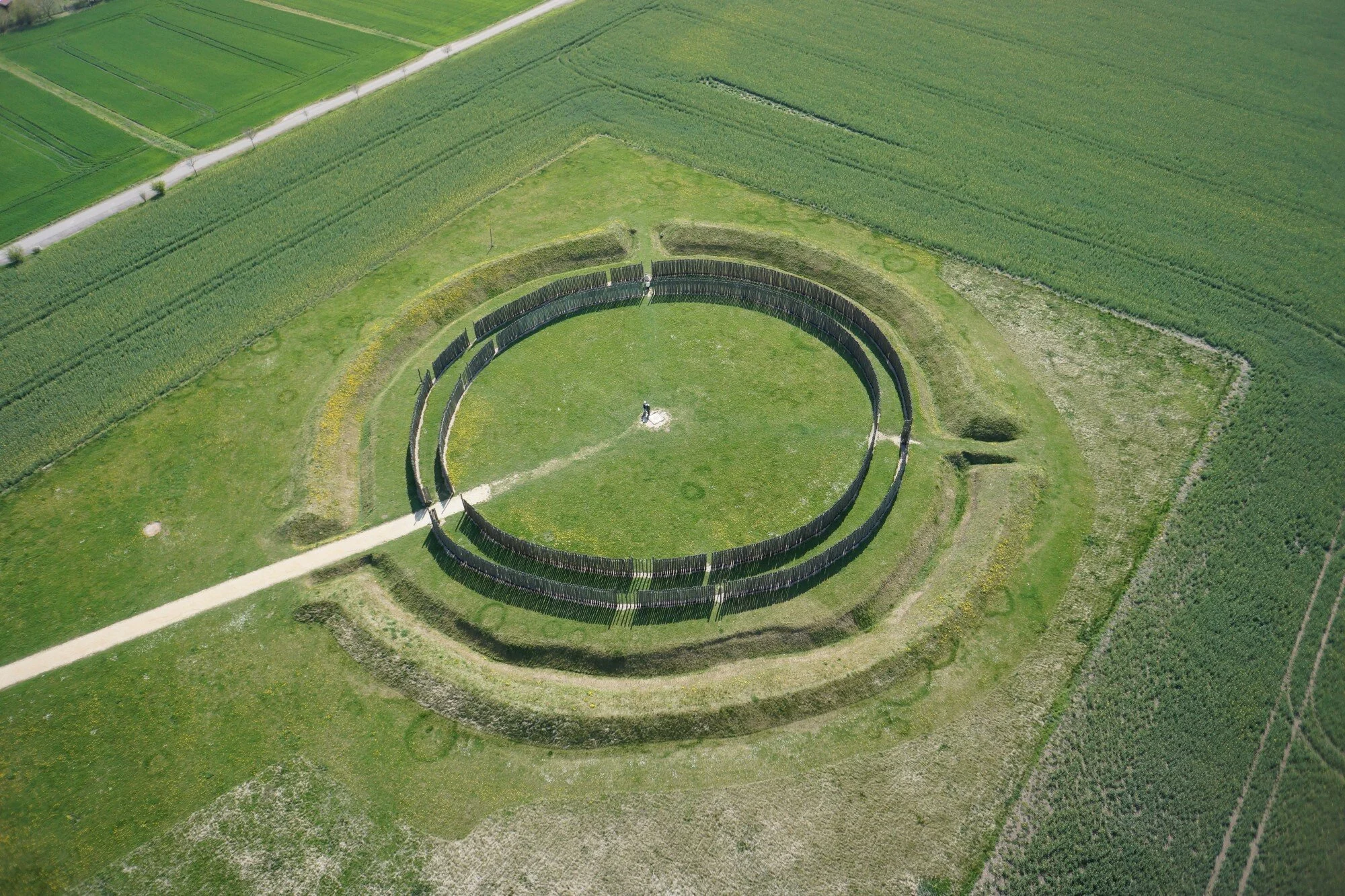 Ap Cropmark- Possible curvilinear or circular enclosure in LisbaneAp Cropmark- Possible curvilinear or circular enclosure · 1.4 mi
Explorer Tom This curvilinear enclosure in Lisbane is shaped like it’s trying to dance away from responsibility. Two families…
 Wedge-shaped farm jetty in Watson's Island (tullynakill)Wedge-shaped Farm Jetty · 1.6 mi
Explorer Tom Wedge-shaped farm jetty in Watson's Island has strong opinions about your car keys. A post-medieval wedge sounds like…
 Watson's IslandIslet · 1.6 mi
Explorer Tom Watson's Island started because two lads made a bet in the pub that one could name a rock and make it stick. The other…
 Wood IslandIslet · 1.9 mi
Explorer Tom Wood Island in Strangford Lough is just sitting there looking smug about its old house ruins, probably daydreaming…
 Post-Medieval church & graveyard in TullynakillPost-Medieval church & graveyard · 2.0 mi
Explorer Tom Post-Medieval church & graveyard in Tullynakill has a thick wall on the north side. That’s not a coincidence, that’s a…
 Tower-house and bawn: mahee island in Mahee IslandTower-house and Bawn: Mahee Island · 2.1 mi
Explorer Tom Mahee Island in County Down is a tower-house that’s been hiding a scandal for centuries, probably involving a goat or a…
 Mahee CastleCastle · 2.1 mi
Explorer Tom Mahee Castle guards the north end of Mahee Island beside Strangford Lough, or would do if a ruined tower could still…
 Islandreagh WoodWood · 2.4 mi
Explorer Tom Islandreagh Wood has a secret talent for juggling acorns without dropping a single one, which is impressive considering…
More archaeology and monuments in County Down · All of County Down

What do you know about this place?Tap to add a comment or ask a question