What is recorded here
In rough pastureland in an area of extensive forest plantations. A distinctive bank (ext. H 1.8-2m), visible on current aerial imagery (OSi digitalglobe 2011-2013), curves from SW to NE (c. 62m NE-SW). A number of similar linear banks visible within its vicinity may be associated.
Compiled by: Olive Alcock
Date of upload: 8 March 2022
The monument record does not grant public access. Check the route and ask the landowner before entering private land.
- What survives
- Recorded monument
Places near here
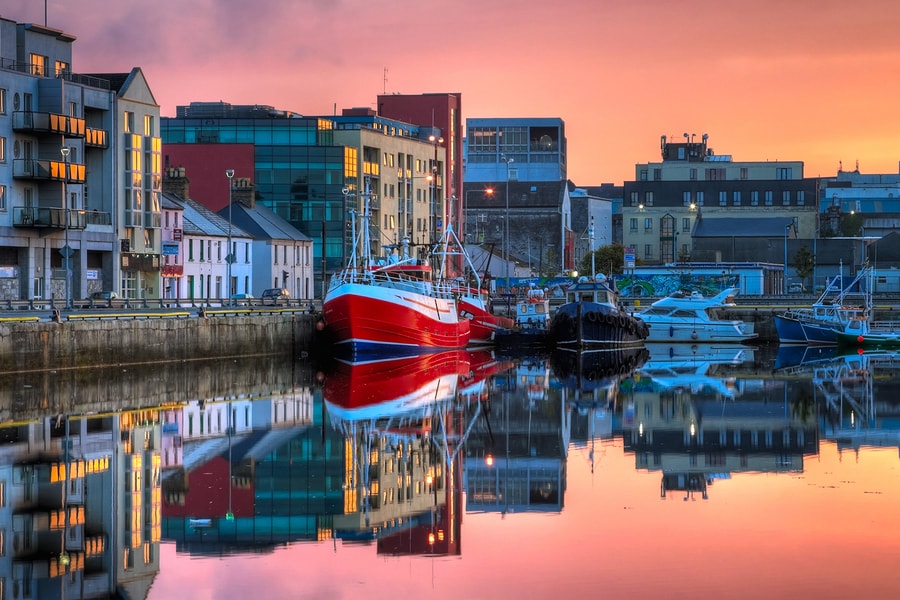 Tober MaoileHoly well · 1455 yd
 LissardFairy fort / ringfort · 1.3 mi
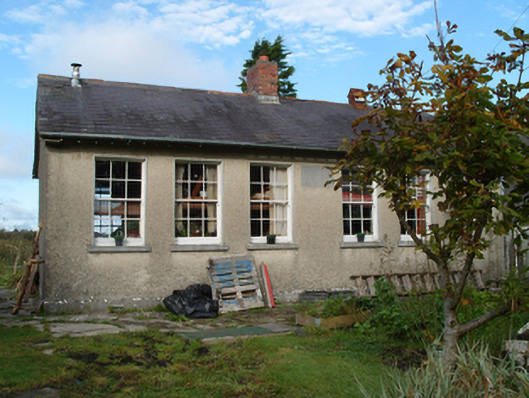 Saint Monica's National Schoolschool · 1.5 mi
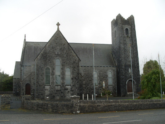 Saint Michael's Catholic Churchchurch/chapel · 1.8 mi
 Woodlawn WoodsForest · 3.0 mi
 European Crab AppleEuropean Crab Apple · 3.0 mi
 Menlough IRAMemorial · 4.3 mi
 Tiaquin Castle (Site of)Castle, unclassified · 4.6 mi
 Castle (in Ruins)Castle, unclassified · 4.8 mi
 Kilconnell AbbeyHeritage attraction · 6.0 mi
 Battle of Aughrim Interpretative CentreMuseum · 9.9 mi
 Battle of AughrimMajor battlefield · 10 mi