What is recorded here
Located on the SW-facing slope of a hillock at the N shore of Lough Allen, with a cliff (H c. 10m) immediately to the E down to the lake shore. It is indicated as a large rectangular field (dims c. 70m N-S; c. 45-55m E-W) backing onto the cliff at E on the 1835 edition of the OS 6-inch map where it is described in gothic lettering as a 'fort'. It is depicted as a rectangular hachured feature (dims c. 45m N-S; c. 30m E-W) on the 1907 edition This is a grass-covered subrectangular area (dims 33m E-W; 28m N-S) defined by a slight scarp (H 0.2m) down to the interior at N, an outer scarp (H 0.7m) at S, a grass-covered earthen bank (Wth 3-3.5m; H 0.2m) at W and the cliff (H c. 10m) down to the lake shore at E. Moore (Dublin: Stationery Office, 2003).
Located on the SW-facing slope of a hillock at the N shore of Lough Allen, with a cliff (H c. 10m) immediately to the E down to the lake shore. It is indicated as a large rectangular field (dims c. 70m N-S; c. 45-55m E-W) backing onto the cliff at E on the 1835 edition of the OS 6-inch map where it is described in gothic lettering as a 'fort'. It is depicted as a rectangular hachured feature (dims c. 45m N-S; c.…
From the National Monuments Service (Archaeological Survey of Ireland) record LE018-035
The monument record does not grant public access. Check the route and ask the landowner before entering private land.
- What survives
- Recorded monument
Places near here
Forde's CastleCastle · 492 ydGull RockIslet · 803 ydGull IslandIslet · 808 yd New BridgeBridge · 1.9 miBlack Poplar1.9 miEuropean ash2.0 miOld BridgeBridge · 2.0 miScardan WaterfallWaterfall · 3.3 miLough AllenLarge freshwater lake · 3.9 miTobermurrySpring · 4.4 miTobermurvyHoly well · 4.4 miSliabh an IarainnMountain / peak · 6.0 mi
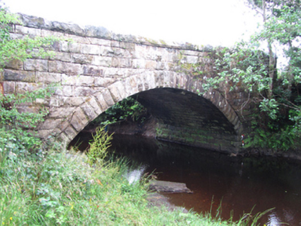 New BridgeBridge · 1.9 mi
 Black Poplar1.9 mi
 European ash2.0 mi
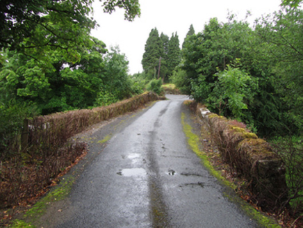 Old BridgeBridge · 2.0 mi
 Scardan WaterfallWaterfall · 3.3 mi
 Lough AllenLarge freshwater lake · 3.9 mi
 TobermurrySpring · 4.4 mi
 TobermurvyHoly well · 4.4 mi
 Sliabh an IarainnMountain / peak · 6.0 mi
Pictures: National Inventory of Architectural Heritage; Kenraiz, Wikimedia Commons · CC BY-SA 3.0; Willow, Wikimedia Commons · CC BY 2.5; Oliver Dixon, Geograph · CC BY-SA 2.0; Andreas F. Borchert, Wikimedia Commons · CC BY-SA 4.0; Kenneth Allen, Wikimedia Commons · CC BY-SA 2.0; Pampuco, Wikimedia Commons · CC BY-SA 4.0
More archaeology and monuments in County Leitrim · All of County Leitrim
What do you know about this place?