
What is recorded here
In pasture, located on a low rise, with a gradual fall of ground to NW, in undulating terrain. This enclosure is not indicated on the 1838 OS 6-inch map, but shown on later editions as a D-shaped hachured area, with the straight side at SW defined by a NW−SE field boundary. It is evident as a slightly raised D-shaped…
Read the whole record
From the National Monuments Service (Archaeological Survey of Ireland) record MA040-068
Places near here
Photo credits
- Maker not stated on source page, www.pinterest.com
- Maker not stated on source page, www.dreamstime.com
- Maker not stated on source page, www.britainexpress.com
- National Inventory of Architectural Heritage
- Maker not stated on source page, no.pinterest.com
- Discover Ireland; photographer not stated, Discover Ireland
- Maker not stated on source page, sociable.co
- Golfing in Ireland; photographer not stated, Source publisher
- Kmcnamee, Wikimedia Commons · CC BY-SA 4.0
 Standing stoneStanding stone, pair · 295 yd
Explorer Tom This pair of standing stones in Corrower is planning to retire to a quiet field by the sea. They’ve been debating their…
 Stone row in CorrowerStone row · 557 yd
Explorer Tom Stone row in Corrower would cope brilliantly on a reality show, honestly. It just sits there judging everyone’s fashion…
 Holed stone in Lissard MoreHoled stone · 1217 yd
Explorer Tom Holed stone in Lissard More has a ghost that is far too lazy to haunt it properly. He mostly naps in the hole and…
 Megalithic structure in Lissard MoreMegalithic structure · 1217 yd
Explorer Tom Megalithic structure in Lissard More had a capstone that sat on five other stones like a king on a throne. A poet fell…
 Church (in Ruins)Church · 1657 yd
Explorer Tom Church in Kildermot gave up bread for Lent but kept its dramatic flair intact, sitting on a ridge overlooking Ballymore…
 CastleCastle, unclassified · 1754 yd
Explorer Tom Castle in Ballymore has an imaginary fan club that mostly consists of historians who can’t agree on whether it was even…
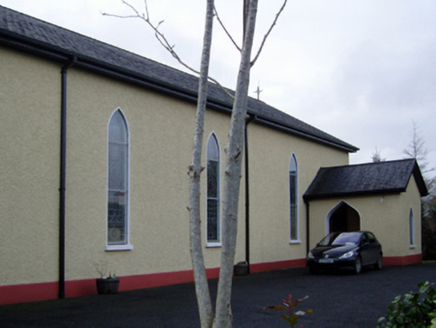 Catholic Church of the Immaculate Conception and Saint JosephChurch/chapel · 1.3 mi
Explorer Tom This Kilgellia church has a strong opinion about the road leading to it; it thinks you should walk more to humble…
 Killeen New CemeteryCemetery · 1.4 mi
Explorer Tom Killeen New Cemetery is clearly run by a very serious dog who believes he is the king of all things buried and…
 Father Peyton CentreVisitor attraction · 1.4 mi
Explorer Tom The Father Peyton Centre in Attymass tells how a boy from the Mayo countryside became a priest whose family prayer…
 Bonniconlon CemeteryCemetery · 3.1 mi
Explorer Tom Bonniconlon Cemetery is in a screaming match with the nearest tree, accusing it of stealing all the sunlight and…
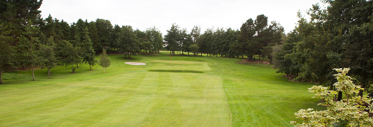 Ballina Golf ClubGolf course · 3.4 mi
 Bonniconlon, Bonniconlon GAAGAA ground · 3.4 mi
More archaeology and monuments in County Mayo · All of County Mayo

What do you know about this place?Tap to add a comment or ask a question