
What is recorded here
From the Northern Ireland Sites and Monuments Record record DOW019:001
Places near here
Photo credits
- HENRY CLARK, Geograph · CC BY-SA 2.0
- Maker not stated on source page, ru.pinterest.com
- Maker not stated on source page, ru.wikipedia.org
- Maker not stated on source page, www.pinterest.com
- Maker not stated on source page, commons.wikimedia.org
- Kmcnamee, Wikimedia Commons · CC BY-SA 4.0
- P Flannagan, Wikimedia Commons · CC BY-SA 2.0
- Éire Óg Craigavon GAC; individual photographer not named, eireog.com
- HENRY CLARK, Wikimedia Commons · CC BY-SA 2.0
- Maker not stated on source page, uk.pinterest.com
- Maker not stated on source page, www.tripadvisor.in
- Picture: Ulster Architectural Heritage Society image via Pinterest
 Waringstown Red WoodsForest · 1710 yd
Explorer Tom Waringstown Red Woods is incredibly proud of its redness, acting like every other tree in County Down is just a jealous…
 Holy well (unlocated) in ToberhewnyHoly well (unlocated) · 1.1 mi
Explorer Tom Holy well in Toberhewny is unlocated, so it must be hiding from the council taxes or just shy. When nobody’s looking…
 Enclosure in MagheranaEnclosure · 1.2 mi
Explorer Tom Enclosure in Magherana was allegedly invented by a local man who just pointed at some rocks and said 'that's it'. It’s…
 Lurgan CemeteryCemetery · 1.4 mi
Explorer Tom Lurgan Cemetery is doing its best impression of a ghostly choir at midnight, or so the local lads claim over pints.…
 Mapped graveyardGraveyard · 1.5 mi
Explorer Tom Graveyard (Mapped) in County Armagh can hear every whisper through its walls, which is why everyone pretends to be very…
 Taghnevan Playing Fields, St. Paul's GAA, LurganGAA ground · 1.6 mi
 Carnegie LibraryLibrary · 2.0 mi
Explorer Tom Carnegie Library in Lurgan would order a chipper with extra vinegar because it thinks it’s a pub that got lost in the…
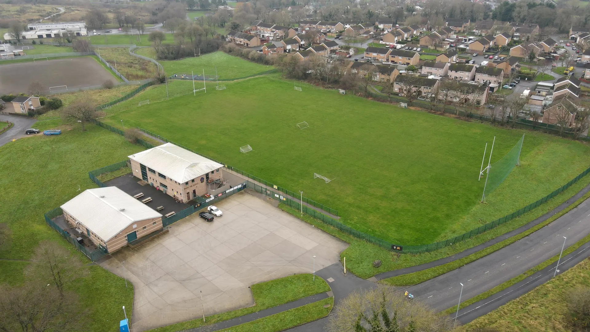 Pine Bank, Éire Óg GAA, CraigavonGAA ground · 2.1 mi
 White BridgeBridge · 4.0 mi
Explorer Tom White Bridge at Loughans/Moyallan hosted a love story that ended with someone throwing shoes. An 1860s bridge that saw…
 Oxford IslandVisitor information · 4.2 mi
Explorer Tom Oxford Island in County Armagh is doing its best impression of a serious scholar, but it’s really just a rock…
 Oxford Island National Nature ReserveNature reserve · 4.4 mi
Explorer Tom Oxford Island is in a dramatic standoff with the nearest tree, which it thinks is stealing its sunlight. The birds are…
 Stramore HouseCastle · 4.5 mi
Explorer Tom Stramore House took approximately four million cups of tea to build, and I’m pretty sure the architect fainted from the…
More archaeology and monuments in County Down · All of County Down

What do you know about this place?Tap to add a comment or ask a question