What is recorded here
On poorly drained reclaimed grassland. Outline of circular-shaped enclosure (approx. int. diam. 46m) clearly visible on Google earth orthoimage taken 05/02/2009.
See attached Google Earth orthoimages
Compiled by: Caimin O'Brien based on details provided by Edmond O'Donovan
Date of upload: 8 September 2020
The monument record does not grant public access. Check the route and ask the landowner before entering private land.
- What survives
- Recorded monument
Places near here
 CloughregaunMegalithic structure · 1267 yd
 Carrigogunnell CastleRuins · 1427 yd
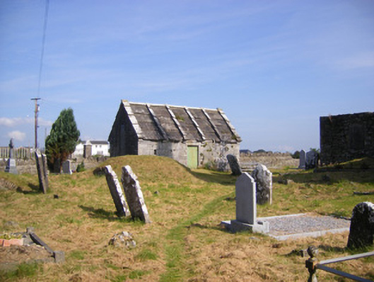 Church of Saint Philip and Saint James (Kilkeedy)mausoleum · 1.1 mi
 Grave YardGraveyard · 1.1 mi
 Meelick Ho.House, fortified house · 1.1 mi
 kilnkiln · 1.1 mi
 St James's WellSpring · 1.3 mi
 Sailors HaggardMemorial · 1.5 mi
 Muckinish PointHeadland · 2.5 mi
 Grass IslandIslet · 2.7 mi
 Coonagh NatureNature reserve · 2.9 mi
 Maiden RockNamed rock · 3.0 mi