What is recorded here
Enclosure in Cooltymurraghy (kilconnell By.) is a circular fort on a Galway ridge, reduced to an overgrown scar barely a metre high. Local tradition still calls it a fort, preserving the shape of a boundary that time has softened into grass. The land may have held people, herds or memory before it became farmland, but the earth keeps only a hint of that life.
On a ridge in farmland. Marked on 3rd ed. of OS 6-inch map (1946) as a circular enclosure (D c. 40m). All that survives is an overgrown area defined by a scarp (H c. 0.9m). According to local tradition, the area is known as a 'fort'.
The above description is derived from the published 'Archaeological Inventory of County Galway Vol. II - North Galway'. Compiled by Olive Alcock, Kathy de hÓra and Paul Gosling (Dublin: Stationery Office, 1999).
Date of upload: 05 August 2010
The monument record does not grant public access. Check the route and ask the landowner before entering private land.
- What survives
- Recorded monument
Places near here
 Enclosure in Garrynamishaun OR Aughrim Plots,kilcommadanEnclosure · 1150 yd
 Field system in AttidermotField system · 1194 yd
 Battle of Aughrim Interpretative CentreMuseum · 1459 yd
 R.C. ChapelChurch · 1494 yd
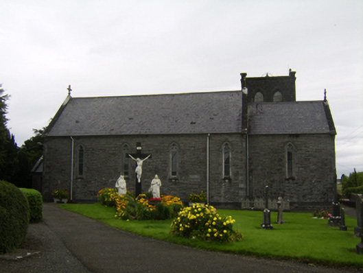 Saint Catherine's Catholic Churchchurch/chapel · 1580 yd
 Battle of AughrimMajor battlefield · 1632 yd
 Castle (Site of)Castle, Anglo-Norman masonry castle · 1.0 mi
 The bloody HollowHeritage attraction · 1.2 mi
 Oak WoodWood · 1.3 mi
 Urraghry HillMountain / peak · 2.2 mi
 Park CastleCastle, hall-house · 2.7 mi
 West WoodWood · 3.3 mi