What is recorded here
In pasture, on gentle SE-facing slope in area of outcropping limestone c. 30m to NE of 019-142---. The monument depicted on 1841 OS 6-inch map only as the arc of a circular enclosure truncated by a public road has been levelled and no visible surface trace evident when inspected.
Compiled by: Denis Power
Date of upload: 26 August 2011
The monument record does not grant public access. Check the route and ask the landowner before entering private land.
- What survives
- Recorded monument
Places near here
 Fulacht fia in CooltominFulacht fia · 835 yd
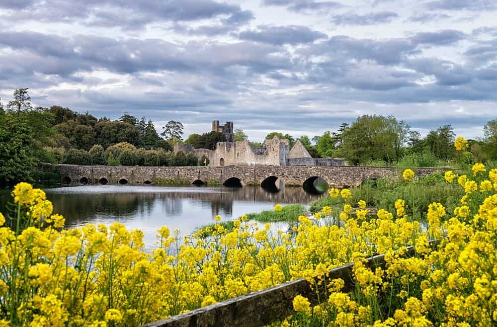 LisardArchaeological place · 1190 yd
 post boxpost box · 1530 yd
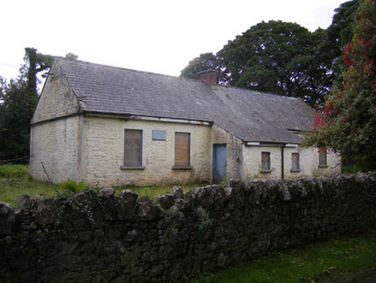 Nutgrove National Schoolschool · 1657 yd
 CastleCastle, unclassified · 1.6 mi
 Site of CastleCastle, unclassified · 1.8 mi
 St. Kieran's WellSpring · 2.6 mi
 St. Luke's WellSpring · 2.9 mi
 Askeaton CastleHeritage attraction · 4.1 mi
 Holly IslandIslet · 4.7 mi
 European ashEuropean ash · 5.2 mi
 Foynes Flying Boat & Maritime MuseumMuseum · 5.5 mi