What is recorded here
Earthwork described in 1942-3 as following; 'This consists of a circular earthen platform around which there is a fosse. Modern fences have been built across it in two directions at right angles so that the monument has suffered considerably. It measures 180' [55m] in overall diameter. On the eastern half of the platform there are remains of a rectangular platform very slightly raised over the level of the first. This is surrounded by its own fosse. The west side of this rectangle is obliterated by the building of one of the fences. This measures 97' [30m] long and now has a maximum width of 30' [9m]. The entrance to the monument is not recognisable. Situated in marshy low-land' (O'Kelly 1942-3, 238). Outline of monument clearly visible today on Digital Globe aerial photographs.
Compiled by: Caimin O'Brien
Date of upload: 6 March 2020
The monument record does not grant public access. Check the route and ask the landowner before entering private land.
- What survives
- Recorded monument
Places near here
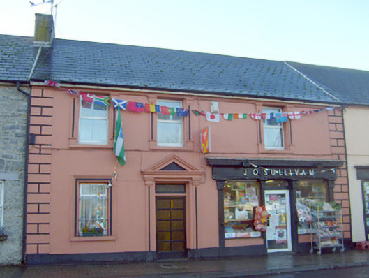 J. O'Sullivanhouse · 699 yd
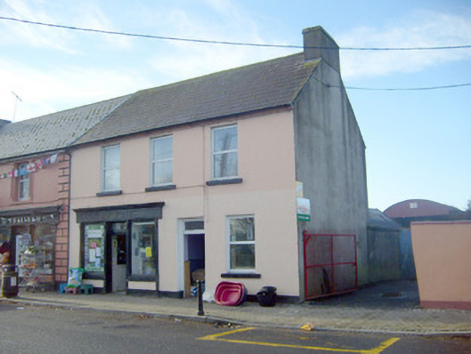 Joneshouse · 699 yd
 Not shownExcavation, miscellaneous · 844 yd
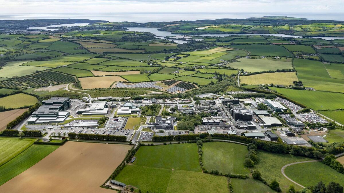 Settlement cluster in BarrysfarmSettlement cluster · 845 yd
 Flat cemetery in Knockainy WestFlat cemetery · 1062 yd
 Desmond Castle (in ruins)Castle, unclassified · 1.0 mi
 Knockainy Castle (in ruins)Castle, tower house · 1.2 mi
 KnockainyMountain / peak · 1.6 mi
 St Patrick's WellSpring · 3.3 mi
 Kilteely HillMountain / peak · 3.7 mi
 St. Patrick's WellSpring · 4.2 mi
 Carn (site of)Cairn, burial cairn · 4.8 mi