What is recorded here
In level grassland on N outskirts of Aughrim village. A poorly preserved roughly subcircular enclosure (E-W 37m, N-S 26m) defined by a bank from NW through E to SW. From SW to NW, the bank has been levelled and a band of nettle and thistles indicates its line. A moss-covered irregular mound (H < 0.2m) is evident in SW quadrant of the interior.
The above description is derived from the published 'Archaeological Inventory of County Galway Vol. II - North Galway'. Compiled by Olive Alcock, Kathy de hÓra and Paul Gosling (Dublin: Stationery Office, 1999).
Date of upload: 05 August 2010
The monument record does not grant public access. Check the route and ask the landowner before entering private land.
- What survives
- Recorded monument
Places near here
 Castle (Site of)Castle, Anglo-Norman masonry castle · 317 yd
 R.C. ChapelChurch · 344 yd
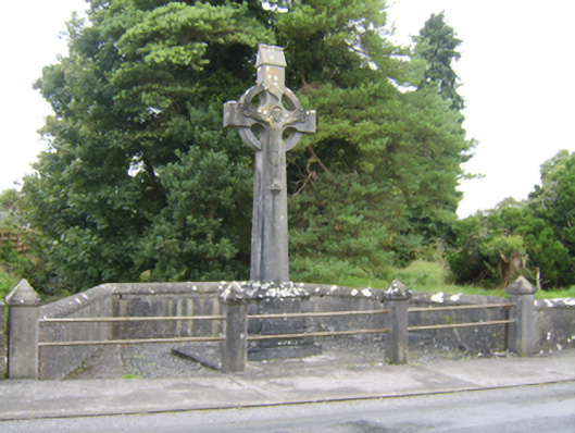 Patrick Hogan Monumentmonument · 370 yd
 St. Catherines WellHoly well · 404 yd
 Battle of Aughrim Interpretative CentreMuseum · 502 yd
 Site of AbbeyReligious house, Augustinian canons · 515 yd
 Oak WoodWood · 1259 yd
 Battle of AughrimMajor battlefield · 1539 yd
 The bloody HollowHeritage attraction · 1.1 mi
 Urraghry HillMountain / peak · 1.6 mi
 West WoodWood · 2.4 mi
 Ballagh Castle (in Ruins)Castle, unclassified · 2.9 mi