What is recorded here
In pasture, located on a low rise, with gently rising ground to SW.
Shown on the 1916 OS 6-inch map as a semi-circular hachured arc curving W–NE, bordered to S and SE by straight field fences.
An ephemeral curving undulation (L c. 15.5m NE−SW) can be discerned in the field surface corresponding with the hachured arc shown on the OS map. The field fence to the S has been removed; the fence at the SE, which serves as a property division, is extant. It is possible that this is the remnant of an originally circular enclosure; however, it is not possible to trace the full circuit at ground level.
Compiled by: Jane O’Shaughnessy
Date of upload: 29 June 2022
This remains an important historical record, but the official description says the monument is no longer visible or has been destroyed. The monument record does not grant public access. Check the route and ask the landowner before entering private land.
- What survives
- No visible remains or recorded as destroyed
Places near here
 teacher's houseteacher's house · 461 yd
 IndicatedFairy fort / stone ringfort · 1147 yd
 Embanked enclosureFairy fort / stone ringfort · 1182 yd
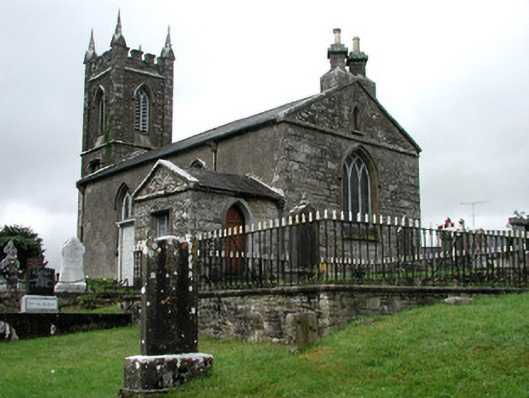 Kiltullagh Church (Kiltullagh)church/chapel · 2.5 mi
 CastleCastle, unclassified · 5.1 mi
 Slieve DartMountain / peak · 6.1 mi
 Rath Castle in ruinsCastle, tower house · 7.9 mi
 Knock MuseumMuseum · 9.5 mi
 Knock ShrineHeritage attraction · 9.6 mi
 East Mayo Brigade MonumentMemorial · 9.8 mi
 Site of Killomaine Grave YardArchaeological place · 12 mi
 Crow IslandIslet · 17 mi