
What is recorded here
Marked on the 1837 ed. of the OS 6-inch map as an embanked enclosure (ext. diam. c. 60m) and on the 1928 ed. as a subcircular field (dims. c. 40m N-S; c. 35m E-W) with 5 field walls radiating off it. Situated on a high, level landscape, it was removed in the 1960s (Gannon 1972) and is not now visible at ground level in reclaimed pasture. Cashel (RO025-008001-) is c. 200m to the W and cashel (RO025-010001-) is c. 180m to the WSW.
Compiled by: Michael Moore
Date of upload: 24 August 2010
The monument record does not grant public access. Check the route and ask the landowner before entering private land.
- What survives
- Recorded monument
Places near here
 IndicatedFairy fort / stone ringfort · 447 yd
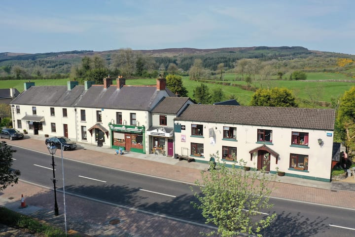 Sweathouse in Clydagh UpperSweathouse · 770 yd
 teacher's houseteacher's house · 1633 yd
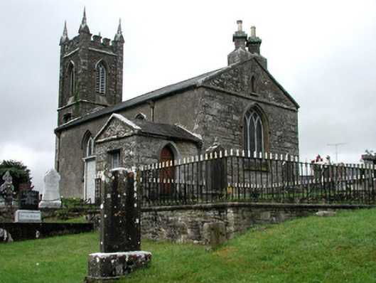 Kiltullagh Church (Kiltullagh)church/chapel · 1.8 mi
 Coolougher WoodForest · 4.9 mi
 CastleCastle, unclassified · 5.0 mi
 Castle in ruinsCastle, unclassified · 8.0 mi
 Knock MuseumMuseum · 10 mi
 Knock ShrineHeritage attraction · 10 mi
 East Mayo Brigade MonumentMemorial · 10 mi
 Site of Killomaine Grave YardArchaeological place · 12 mi
 Crow IslandIslet · 17 mi
Other information
Photo: Credit not shown in the picture search · Rights wording not checked; contact us if this picture should be removed