What is recorded here
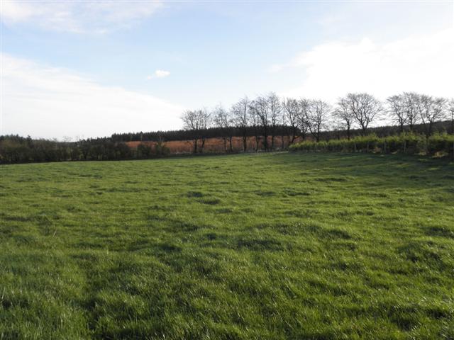
In pasture, located the level top of a high ridge, close to the break of slope at NE where ground falls in a long, steep NE-facing slope into a small stream valley. There are excellent views N−SE bounded by a distant high ridge.
This possible enclosure is not indicated on the 1838 OS 6-inch map, but is shown on the 25-inch plan and 1914 OS 6-inch map as an arc of hachuring which curves W−NE (cord L c. 25m). A low scarp can be traced W−NE in a broad arc (cord L 29-30m NE−SW). The scarp appears to have been partly levelled in the past; it is very slight at W−NW (H 0.3m; Wth slope 2-3m), but is better preserved at N−NNE (H 0.9m; Wth slope c. 6m) where it coincides with and is enhanced by the natural break of slope of the ridge. A slight surface undulation on a N-S axis, possibly the remains of a field boundary, cuts across the NE terminal of the arc.
The significance of this curving scarp is uncertain; it may be the surviving NW arc of an originally circular enclosure. There is a rath (MA034-069001-) 275m to W.
Attached image:
SL034-263----_01.JPG Enclosure viewed from W
Compiled by: Jane O’Shaughnessy
Date of upload: 20 September 2022
The monument record does not grant public access. Check the route and ask the landowner before entering private land.
- What survives
- Recorded monument
Places near here
 LisglassFairy fort / earthen ringfort · 348 yd
 Penitential station in CoollemoneenPenitential station · 474 yd
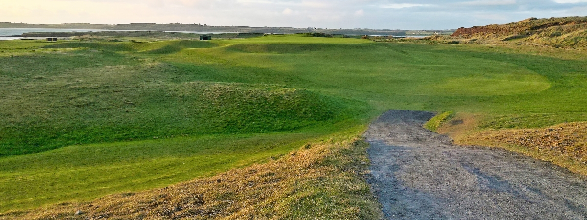 LisheenagloghFairy fort / earthen ringfort · 671 yd
 CastleCastle, motte and bailey · 1741 yd
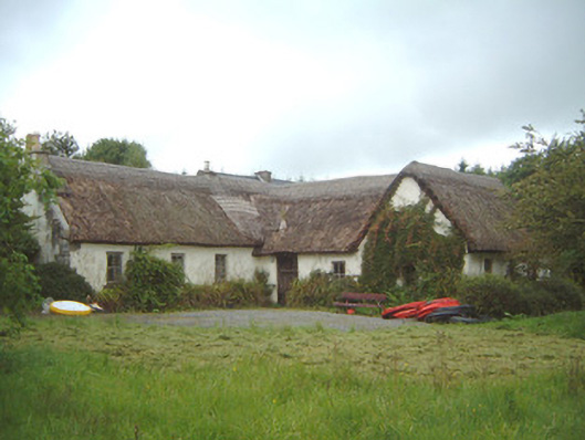 Nasool Cottagehouse · 1.2 mi
 Barroe NorthMountain / peak · 2.1 mi
 Geevagh Prisoners 1908 MemorialMemorial · 2.5 mi
 Ballindoon Castle (in Ruins)Castle, unclassified · 2.8 mi
 Carrane HillCliff · 2.8 mi
 Annaghgowla IslandIslet · 3.4 mi
 InishmoreIslet · 3.4 mi
 Riverstown Folk ParkHeritage attraction · 4.0 mi