What is recorded here
In undulating hilly terrain. This monument is depicted as a D-shaped earthwork on the 1st (1840) ed. OS 6-inch map with the straight side running E-W (L c. 19m) and the semi-circular portion to the N (diam. c. 24m) and as an oval enclosure on the 2nd (1906) ed. On the 25-inch map it is probably more accurately shown as a D-shaped enclosure, the straight side (L c. 25.5m) running NE-SW, with a semi-circular portion to the S (diam. 17.5m NW-SE). The monument is surrounded by a quarry and appears to have been quarried, though access to the actual location of the monument could not be gained. An aerial photograph (OS 2005) suggests that the monument may, at least partially, survive. The quarry in Coolgort runs up to the townland boundary dividing Coolgort from Clashoquirk.
Compiled by: Jean Farrelly
Date of upload: 18 June 2014
The monument record does not grant public access. Check the route and ask the landowner before entering private land.
- What survives
- Recorded monument
Places near here
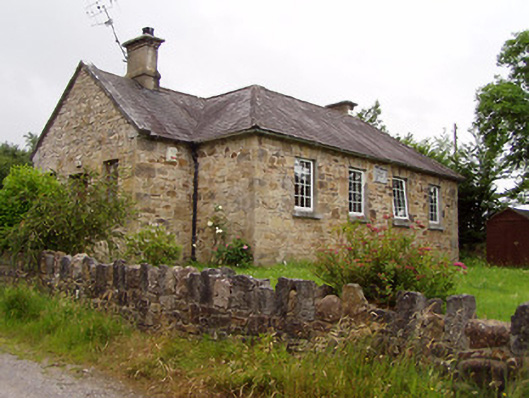 Ardane National Schoolschool · 1196 yd
 Enclosure in Pollagh (templeneiry Par.)Enclosure · 1411 yd
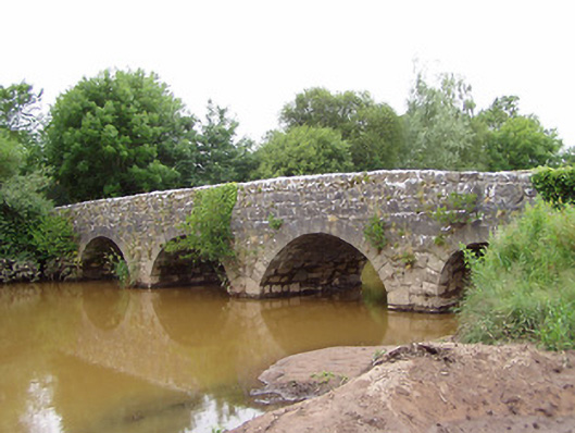 Ashgrove Bridgebridge · 1428 yd
 Enclosure in FoxfortEnclosure · 1494 yd
 Bansha ForestForest · 1.8 mi
 Bansha CastleCastle · 2.1 mi
 Castle (in ruins)Castle, unclassified · 2.2 mi
 KnockastakeenMountain / peak · 2.5 mi
 Pedunculate OakPedunculate Oak · 2.7 mi
 SturrakeenMountain / peak · 2.7 mi
 The RockViewpoint · 3.1 mi
 Christ the KingViewpoint · 3.3 mi