
What is recorded here
An aerial photograph (GB89.AN.15) shows a cropmark of a circular enclosure defined by a fosse, located in the grounds of Coole House. This feature appears very sharp and regular, so it could be a tree-ring. However, no tree-ring is marked on the first edition OS 6-inch map.
Compiled by: Dr. Gillian Barrett for the Archaeological Survey of Ireland
Date of upload: 2 April 2012
The monument record does not grant public access. Check the route and ask the landowner before entering private land.
- What survives
- Recorded monument
Places near here
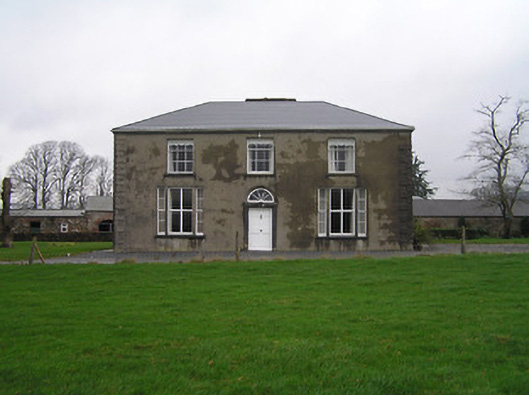 Ringwood Housefarm house · 784 yd
 Church in Grange (ida By.)Church · 1.1 mi
 Enclosure in KylemoreEnclosure · 1.1 mi
 Kylecorragh WoodForest · 1.4 mi
 TobernacallyHoly well · 1.4 mi
 HawthornHawthorn · 1.7 mi
 IndicatedBawn · 1.8 mi
 CastleCastle, unclassified · 1.9 mi
 Crutched FriarsMemorial · 2.6 mi
 Lacken HillMountain / peak · 4.0 mi
 The SpoutSpring · 4.4 mi
 Graveyard in St. Mullin'sGraveyard · 4.5 mi
Other information
Photo: Credit not shown in the picture search · Rights wording not checked; contact us if this picture should be removed